Antanambao Manampotsy
Antanambao Manampotsy is a village and urban commune (municipality) located in the Atsinanana region of eastern Madagascar, and is the chief town of the Antanambao Manampotsy District.
Antanambao Manampotsy | |
|---|---|
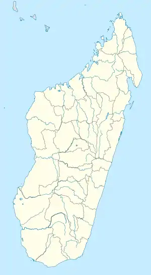 Antanambao Manampotsy Location in Madagascar | |
| Coordinates: 19°29′6″S 48°34′26″E | |
| Country | |
| Region | Atsinanana |
| District | Antanambao-Manampotsy (district) |
| Time zone | UTC3 (EAT) |
| Postal code | 507 |
Roads
Although being linked by the unpaved National Road T 20 this district remains difficult to access. It takes 7 hours by 4x4 cars for the distance of 45 km to the National road 11a.[1]
River
Antanambao Manampotsy lies at the Manampotsy river.
References
Capital: Toamasina | ||
| Antanambao Manampotsy - 507 | 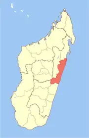 | |
| Mahanoro - 510 | ||
| Marolambo - 513 | ||
| Toamasina I - 501 | ||
| Toamasina II - 502 | ||
| Vatomandry - 517 | ||
| Vohabinany (Brickaville) - 508 | ||
7 districts; 75 communes | ||
This article is issued from Wikipedia. The text is licensed under Creative Commons - Attribution - Sharealike. Additional terms may apply for the media files.