Ainaro
Ainaro is a town in East Timor, the capital of the Ainaro suco, the Ainaro administrative post and the Ainaro Municipality, and is located in the southwest part of the country. The town of Ainaro is located 78 km south of Dili, the national capital.
Ainaro | |
|---|---|
Town | |
 | |
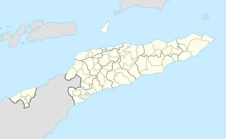 Ainaro Location in East Timor | |
| Coordinates: 8°59′49″S 125°30′18″E | |
| Country | |
| Municipality | Ainaro |
| Administrative post | Ainaro |
| Elevation | 831 m (2,726 ft) |
| Time zone | UTC+09:00 (TLT) |
| Climate | Am |
Destruction of Ainaro
During the Indonesian occupation from 1975 to 1999, Ainaro was home to a large contingent of Indonesian military (TNI)-backed pro-Indonesia militias in the months leading up to the 30 August 1999 referendum on independence. As a result, it suffered near-total devastation during the TNI orchestrated scorched earth operation with more than 95 percent of its buildings destroyed.
Climate
Ainaro’s climate lies on the border between a tropical savanna climate (Köppen Aw) and a tropical monsoon climate (Am). Compared to Dili, Ainaro receives about two-and-a-half times more annual rainfall because it lies on the windward side of the southeastern trade winds, which especially during the first half of Dili’s dry season give moisture to the southeastern side of Timor whilst the northern side is dry.
| Climate data for Ainaro, East Timor (1928-1941) | |||||||||||||
|---|---|---|---|---|---|---|---|---|---|---|---|---|---|
| Month | Jan | Feb | Mar | Apr | May | Jun | Jul | Aug | Sep | Oct | Nov | Dec | Year |
| Record high °C (°F) | 31.1 (88.0) |
31.1 (88.0) |
33.3 (91.9) |
30.0 (86.0) |
33.3 (91.9) |
29.0 (84.2) |
30.0 (86.0) |
30.0 (86.0) |
30.0 (86.0) |
32.2 (90.0) |
33.3 (91.9) |
32.2 (90.0) |
33.3 (91.9) |
| Average high °C (°F) | 27.0 (80.6) |
26.7 (80.1) |
26.5 (79.7) |
25.7 (78.3) |
25.6 (78.1) |
24.3 (75.7) |
23.9 (75.0) |
25.1 (77.2) |
26.5 (79.7) |
26.9 (80.4) |
27.8 (82.0) |
27.9 (82.2) |
26.1 (79.0) |
| Daily mean °C (°F) | 22.7 (72.9) |
22.5 (72.5) |
22.6 (72.7) |
21.7 (71.1) |
21.5 (70.7) |
20.5 (68.9) |
19.7 (67.5) |
20.1 (68.2) |
21.4 (70.5) |
21.9 (71.4) |
22.6 (72.7) |
22.9 (73.2) |
21.7 (71.0) |
| Average low °C (°F) | 18.4 (65.1) |
18.4 (65.1) |
18.7 (65.7) |
17.7 (63.9) |
17.4 (63.3) |
16.8 (62.2) |
15.4 (59.7) |
15.1 (59.2) |
16.4 (61.5) |
17.0 (62.6) |
17.5 (63.5) |
17.8 (64.0) |
17.2 (63.0) |
| Record low °C (°F) | 14.4 (57.9) |
13.3 (55.9) |
15.5 (59.9) |
13.3 (55.9) |
10.0 (50.0) |
10.0 (50.0) |
10.0 (50.0) |
9.9 (49.8) |
10.0 (50.0) |
10.0 (50.0) |
10.0 (50.0) |
12.2 (54.0) |
9.9 (49.8) |
| Average rainfall mm (inches) | 341.5 (13.44) |
337.6 (13.29) |
338.7 (13.33) |
202.1 (7.96) |
166.7 (6.56) |
92.6 (3.65) |
47.6 (1.87) |
6.3 (0.25) |
26.8 (1.06) |
94.8 (3.73) |
217.8 (8.57) |
454.5 (17.89) |
2,326.8 (91.61) |
| Average rainy days | 17.9 | 16.3 | 18.7 | 12.6 | 11.5 | 9.8 | 7.9 | 2.3 | 1.5 | 4.0 | 9.8 | 17.7 | 129.8 |
| Source: NOAA[1] | |||||||||||||
Sister cities
References
- "Portuguese Climatological Data". National Oceanic and Atmospheric Administration. Retrieved 20 January 2023.
External links
![]() Media related to Vila Ainaro at Wikimedia Commons
Media related to Vila Ainaro at Wikimedia Commons