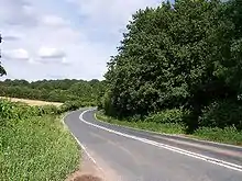
A4103 road
The A4103 is an A-road which runs from Worcester to the A480 in Stretton Sugwas, a village 2 miles (3.2 km) west of Hereford. The road is a primary route as far as the junction with the A465 east of Hereford, and is liable to flooding at Bransford, where it crosses the River Teme.[1]
 | ||||
|---|---|---|---|---|
| Route information | ||||
| Length | 25 mi (40 km) | |||
| Major junctions | ||||
| East end | Worcester | |||
| East end | Stretton Sugwas | |||
| Location | ||||
| Country | United Kingdom | |||
| Road network | ||||
| ||||

The A4103.
References
- Lauren Murray (28 June 2007). "Flood defences can't stop rising water". Worcester News. Retrieved 26 March 2023.
This article is issued from Wikipedia. The text is licensed under Creative Commons - Attribution - Sharealike. Additional terms may apply for the media files.