Zhutang Township, Lancang County
Zhutang Township (simplified Chinese: 竹塘乡; traditional Chinese: 竹塘鄉; pinyin: Zhútáng Xiāng) is a township in Lancang Lahu Autonomous County, Yunnan, China. As of the 2017 census it had a population of 32,455 and an area of 636-square-kilometre (246 sq mi).
Zhutang Township
竹塘乡 | |
|---|---|
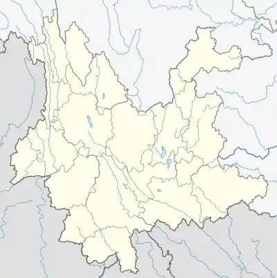
 Zhutang Township Location in Yunnan. | |
| Coordinates: 22°42′48″N 99°48′22″E | |
| Country | People's Republic of China |
| Province | Yunnan |
| Prefecture-level city | Pu'er City |
| Autonomous county | Lancang Lahu Autonomous County |
| Incorporated (township) | 1988 |
| Area | |
| • Total | 636 km2 (246 sq mi) |
| Elevation | 1,460 m (4,790 ft) |
| Population (2017) | |
| • Total | 32,455 |
| • Density | 51/km2 (130/sq mi) |
| Time zone | UTC+08:00 (China Standard) |
| Postal code | 665602 |
| Area code | 0879 |
Administrative division
As of 2016, the township is divided into elven villages:
- Munai (募乃村)
- Panzhihua (攀枝花村)
- Dongzhu (东主村)
- Yunshan (云山村)
- Laotanshan (老炭山村)
- Datangzi (大塘子村)
- Zhanmapo (战马坡村)
- Nanben (南本村)
- Cizhuhe (茨竹河村)
- Ganhe (甘河村)
- Junmeng (军勐村)
History
In 1940, Zhutang District (竹塘区) was set up.
After the founding of the Communist State, in 1950, it became the seat of the county government. During the Great Leap Forward, its name was changed to "Qianjin Commune" (前进公社) in 1969 and then "Zhutang Commune" (竹塘公社) in 1972. It was incorporated as a township in 1988.
Geography
It lies at the northern of Lancang Lahu Autonomous County, bordering Ximeng Va Autonomous County to the west, Menglang Town and Laba Township to the south, Fubang Township and Mujia Township to the north, and Nanling Township to the east.[1]
The Nanlang River (南朗河) flows through the township northwest to southwest.
Economy
The township's economy is based on nearby mineral resources and agricultural resources.[1] The main crops of the region are grain, followed by corn and wheat.[1] Economic crops are mainly tea, tobacco, and castanea mollissima. The region abounds with lead, zinc and limestone.[1]
Demographics
| Year | Pop. | ±% |
|---|---|---|
| 2004 | 31,546 | — |
| 2017 | 32,455 | +2.9% |
| Source: [1] | ||
As of 2017, the National Bureau of Statistics of China estimates the township's population now to be 32,455.
| Ethnic groups in 2004[1] | ||
|---|---|---|
| Ethnicity | Population | Percentage |
| Hani | 2006 | 6.4% |
| Lahu | 25159 | 79.8% |
| Han | 4017 | 12.7% |
| Wa | 128 | 0.4% |
| Yi | 146 | 0.5% |
| Other | 90 | 0.3% |
Transportation
The National Highway G214 passes across the township.
Tourist attractions
The Datangzi Karst Cave (大塘子溶洞) is a well known tourist spot.[1]
References
- Shi Chunyun 2007, p. 60.
Bibliography
- Shi Chunyun, ed. (2007). "Administrative divisions" 行政区划. 《澜沧拉祜族自治县概况》 [General Situation of Lancang Lahu Autonomous County] (in Chinese). Beijing: Nationalities Publishing House. ISBN 978-7-105-08556-9.