Wiston, West Sussex
Wiston is a scattered village and civil parish in the Horsham District of West Sussex, England. It lies on the A283 road 2.8 miles (4.5 km) northwest of Steyning.
| Wiston | |
|---|---|
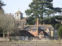 Buildings on the estate of Wiston House | |
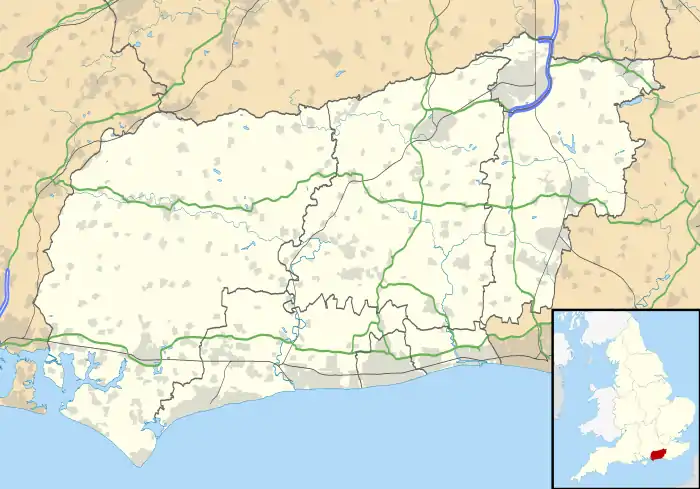 Wiston Location within West Sussex | |
| Area | 13.60 km2 (5.25 sq mi) [1] |
| Population | 221 [1] 2001 Census |
| • Density | 16/km2 (41/sq mi) |
| OS grid reference | TQ143142 |
| • London | 42 miles (68 km) NNE |
| Civil parish |
|
| District | |
| Shire county | |
| Region | |
| Country | England |
| Sovereign state | United Kingdom |
| Post town | STEYNING |
| Postcode district | BN44 |
| Dialling code | 01903 |
| Police | Sussex |
| Fire | West Sussex |
| Ambulance | South East Coast |
| UK Parliament | |
The parish covers an area of 1,360 hectares (3,400 acres). In the 2001 census 221 people lived in 86 households, of whom 120 were economically active.[1]
Landmarks
Chanctonbury Ring, a hill fort based ring of trees atop Chanctonbury Hill on the South Downs, lies on the border of the parish and the neighbouring parish of Washington. Chanctonbury Hill is a Site of Special Scientific Interest as an uncommon woodland type on a chalk escarpment, providing habitat for many species including the protected Great Crested Newt.[2]
Nearest Settlements | ||||||||||||||||
|---|---|---|---|---|---|---|---|---|---|---|---|---|---|---|---|---|
| ||||||||||||||||
References
Wikimedia Commons has media related to Wiston, West Sussex.
- "2001 Census: West Sussex – Population by Parish" (PDF). West Sussex County Council. Archived from the original (PDF) on 8 June 2011. Retrieved 12 April 2009.
- "SSSI Citation — Chanctonbury Hill" (PDF). Natural England. Retrieved 4 April 2009.
{{cite journal}}: Cite journal requires|journal=(help)
This article is issued from Wikipedia. The text is licensed under Creative Commons - Attribution - Sharealike. Additional terms may apply for the media files.