Winceby
Winceby is a village in the civil parish of Lusby with Winceby (where the population is included) in the East Lindsey district of Lincolnshire, England.[1] It is in the Lincolnshire Wolds, and about 5 miles (8.0 km) from both Horncastle and Spilsby.[2]
| Winceby | |
|---|---|
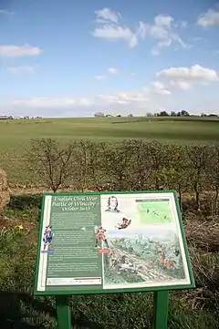 Site of Winceby Battlefield | |
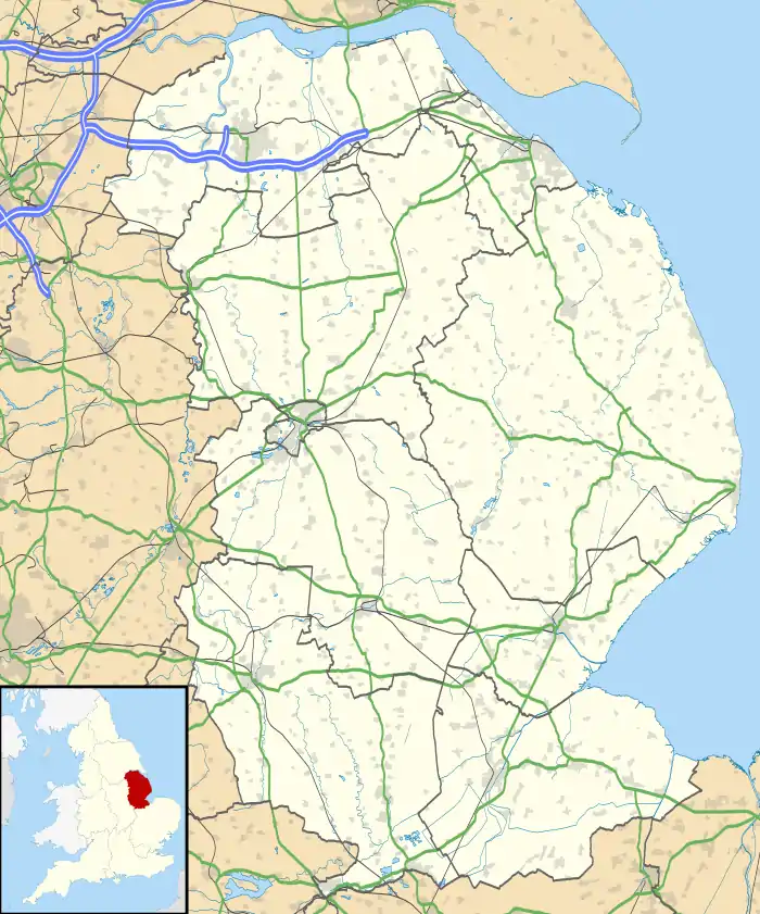 Winceby Location within Lincolnshire | |
| OS grid reference | TF321681 |
| • London | 120 mi (190 km) SSW |
| Civil parish |
|
| District | |
| Shire county | |
| Region | |
| Country | England |
| Sovereign state | United Kingdom |
| Post town | Horncastle |
| Postcode district | LN9 |
| Police | Lincolnshire |
| Fire | Lincolnshire |
| Ambulance | East Midlands |
| UK Parliament | |
The village is notable for the (Civil War) Battle of Winceby, which took place in 1643, when the Royalist army was defeated by the Roundheads at "Slash Hill".[3]
There is a church, St Margaret's, and a garage. The village is very close to the Snipe Dales nature reserve and country park, owned by the Lincolnshire Wildlife Trust.
See also
References
- "Ordnance Survey Election Maps". www.ordnancesurvey.co.uk. Ordnance Survey. Retrieved 18 February 2016.
- Ordnance Survey: Landranger map sheet 122 Skegness & Horncastle (Map). Ordnance Survey. 2013. ISBN 9780319229392.
- "Battle of Winceby". www.battlefieldstrust.com. Retrieved 25 March 2016.
External links
 Media related to Winceby at Wikimedia Commons
This article is issued from Wikipedia. The text is licensed under Creative Commons - Attribution - Sharealike. Additional terms may apply for the media files.