Whitetop Mountain (British Columbia)
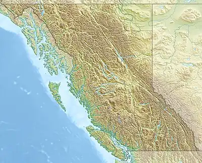
Whitetop Mountain is a forested hill in the West-Central Interior of British Columbia, Canada. It is on the northwest side of junction of the Chilcotin River and Downton Creek.[3] Whitetop is a volcanic cone of the Chilcotin Plateau and Anahim Volcanic Belt.[4]
| Whitetop Mountain | |
|---|---|
 Whitetop Mountain | |
| Highest point | |
| Elevation | 1,525 m (5,003 ft)[1] |
| Prominence | 208 m (682 ft)[1] |
| Listing | Volcanoes of Canada |
| Coordinates | 52°38′55″N 124°33′21″W[2] |
| Geography | |
| Country | Canada |
| Province | British Columbia |
| District | Range 3 Coast Land District |
| Parent range | Chilcotin Plateau |
| Topo map | NTS 93C10 Downton Creek[2] |
| Geology | |
| Volcanic arc/belt | Anahim Volcanic Belt |
References
- "Whitetop Mountain". Bivouac.com. Retrieved 2016-01-09.
- "Whitetop Mountain". Geographical Names Data Base. Natural Resources Canada. Retrieved 2023-04-28.
- "Whitetop Mountain". BC Geographical Names. Retrieved 2016-01-08.
- Kuehn, Christian; Guest, Bernard; K. Russell, James; A. Benowitz, Jeff (2015). "The Satah Mountain and Baldface Mountain volcanic fields: Pleistocene hot spot volcanism in the Anahim Volcanic Belt, west-central British Columbia, Canada". Bulletin of Volcanology. Springer: 8.
This article is issued from Wikipedia. The text is licensed under Creative Commons - Attribution - Sharealike. Additional terms may apply for the media files.