White Rock, North Carolina
White Rock (variant name: Whiterock) is an unincorporated community in Madison County, North Carolina, United States. The community is located along Chapel Hill Road (SR 1316), which connects to nearby NC 212.[2] The community is part of the Asheville Metropolitan Statistical Area.
White Rock | |
|---|---|
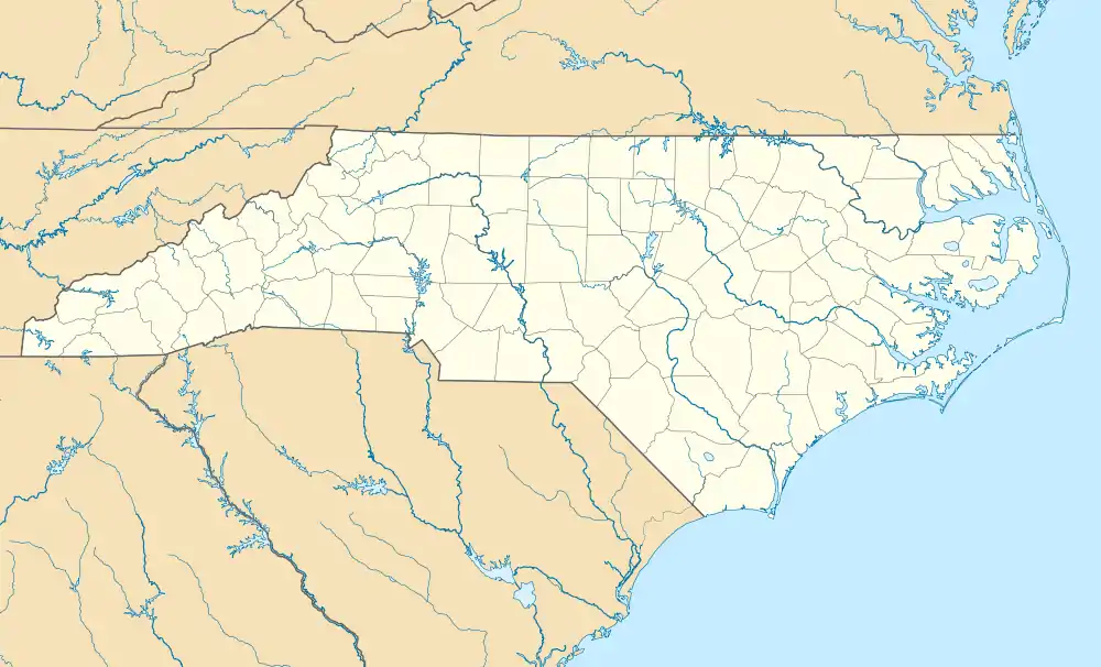 White Rock Location within the state of North Carolina | |
| Coordinates: 35°57′09″N 82°42′06″W | |
| Country | United States |
| State | North Carolina |
| County | Madison County |
| Elevation | 1,880 ft (573 m) |
| Time zone | UTC-5 (Eastern (EST)) |
| • Summer (DST) | UTC-4 (EDT) |
| ZIP code | 28753 |
| Area code | 828 |
| GNIS feature ID | 1023208[1] |
References
- U.S. Geological Survey Geographic Names Information System: White Rock, North Carolina
- Madison County, North Carolina (PDF) (Map). Cartography by NCDOT. Raleigh: North Carolina Department of Transportation. September 2015. Retrieved April 7, 2016.
Municipalities and communities of Madison County, North Carolina, United States | ||
|---|---|---|
| Towns |  | |
| Unincorporated communities | ||
This article is issued from Wikipedia. The text is licensed under Creative Commons - Attribution - Sharealike. Additional terms may apply for the media files.