White Hill (Forest of Bowland)
White Hill is a hill in the Forest of Bowland, north-western England. It lies between Slaidburn and High Bentham. The summit houses a tower and a trig point. In medieval times, the hill marked one of the northernmost limits of the Lordship of Bowland.
Marilyns of Northern England | ||
|---|---|---|
| 1. Northumberland |  | |
| 2. Northern Lakeland | ||
| 3. Western Lakeland | ||
| 4. Central and Southern Lakeland | ||
| 5. Eastern Lakeland | ||
| 6. North Pennines and Durham | ||
| 7. Northern Yorkshire Dales | ||
| 8. Southern Yorkshire Dales | ||
| 9. North York Moors to the Humber | ||
| 10. Forest of Bowland | ||
| White Hill | |
|---|---|
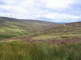 The valley of Croasdale, with the slopes of White Hill on the left. | |
| Highest point | |
| Elevation | 544 m (1,785 ft) |
| Prominence | c. 159 m |
| Parent peak | Ward's Stone |
| Listing | Marilyn |
| Coordinates | 54°01′24″N 2°30′02″W |
| Geography | |
 White Hill Location in the Forest of Bowland 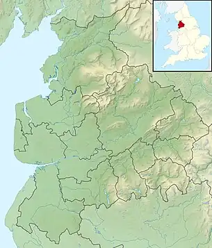 White Hill Location in Lancashire 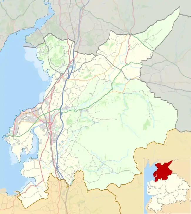 White Hill Location in the City of Lancaster district  White Hill Location in Ribble Valley Borough | |
| Location | Forest of Bowland, England |
| OS grid | SD673587 |
| Topo map | OS Landranger 103 |
This article is issued from Wikipedia. The text is licensed under Creative Commons - Attribution - Sharealike. Additional terms may apply for the media files.