West Central Franklin, Maine
West Central Franklin is an unorganized territory located in Franklin County, Maine, United States. As of the 2020 census, the location had a total population of 1.[1] Most of this area has never been organized. The only exception was a short-lived incorporated town in the 19th century (Township 6 was briefly incorporated as the town of Berlin).
West Central Franklin, Maine | |
|---|---|
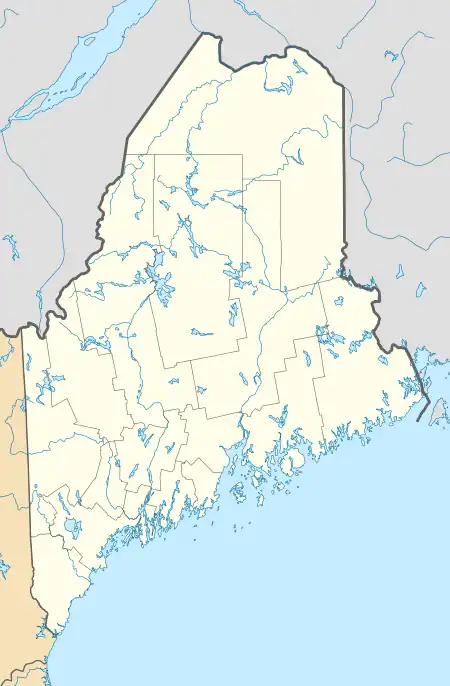 West Central Franklin, Maine Location within the state of Maine | |
| Coordinates: 44°48′35″N 70°37′32″W | |
| Country | United States |
| State | Maine |
| County | Franklin |
| Area | |
| • Total | 104.7 sq mi (271.2 km2) |
| • Land | 104.0 sq mi (269.3 km2) |
| • Water | 0.7 sq mi (1.9 km2) |
| Elevation | 2,037 ft (621 m) |
| Population (2020) | |
| • Total | 1 |
| Time zone | UTC-5 (Eastern (EST)) |
| • Summer (DST) | UTC-4 (EDT) |
| Area code | 207 |
| FIPS code | 23-82235 |
| GNIS feature ID | 582803 |
Geography
According to the United States Census Bureau, the location has a total area of 104.7 square miles (271.2 km2), of which 104.0 square miles (269.3 km2) is land and 0.7 square mile (1.9 km2) is water. The total area is 0.69% water.
The territory consists of three townships along the western edge of the county, south of Rangeley Plantation and north of Weld, namely Township D, Township E, and Township 6 (North of Weld).
Demographics
| Census | Pop. | Note | %± |
|---|---|---|---|
| 1970 | 2 | — | |
| 2010 | 0 | — | |
| 2020 | 1 | — | |
| U.S. Decennial Census[2] | |||
As of the 2010 Census,[3] there are no people living in the location.
References
- "Census - Geography Profile: West Central Franklin UT, Franklin County, Maine". Retrieved March 19, 2022.
- "Census of Population and Housing". Census.gov. Retrieved June 4, 2015.
- "U.S. Census website". United States Census Bureau. Retrieved 2008-01-31.
Municipalities and communities of Franklin County, Maine, United States | ||
|---|---|---|
| Towns | 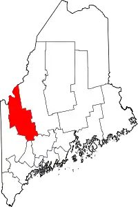 Franklin County map | |
| Plantations | ||
| Unorganized territories | ||
| CDPs | ||
| Other villages | ||
| Footnotes | ‡This populated place also has portions in an adjacent county | |