Warrabah National Park
Warrabah is a national park in New South Wales, Australia, 371 km (231 mi) north of Sydney. It is situated west of Kingstown and east of Split Rock Dam.
| Warrabah National Park New South Wales | |
|---|---|
 Warrabah National Park, September 2016 | |
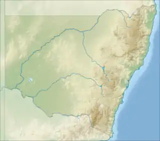 Warrabah National Park | |
| Nearest town or city | Kingstown |
| Coordinates | 30°32′42″S 150°56′46″E |
| Established | 1984 |
| Area | 34.71 km2 (13.4 sq mi) |
| Managing authorities | NSW National Parks and Wildlife Service |
| Website | Warrabah National Park |
| See also | Protected areas of New South Wales |
The major feature of the park is the Namoi River which carves a 15 km (9.3 mi) gorge that drops 245 m (804 ft). Activities in the park include canoeing, li-loing, rock climbing and bush walking. The average elevation of the terrain is 759 meters.[1]
Over 120 bird species have been spotted here. Among others there are robins, rosellas and cockatoos to wedge-tailed eagles and wrens.[2]
See also
References
- "Warrabah National Park topographic map, elevation, relief". topographic-map.com. Retrieved 7 January 2022.
- "Warrabah National Park | Learn more". NSW National Parks. Retrieved 6 January 2022.
This article is issued from Wikipedia. The text is licensed under Creative Commons - Attribution - Sharealike. Additional terms may apply for the media files.