Ward, Washington
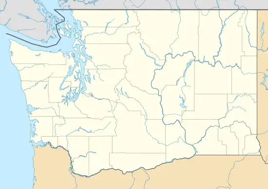
Ward is an unincorporated community in Stevens County, in the U.S. state of Washington.[2] It is located a mile-and-a-half east of Kettle Falls on U.S. Route 395.[3]
Ward, Washington | |
|---|---|
 Ward, Washington | |
| Coordinates: 48°36′16″N 118°01′24″W | |
| Country | United States |
| State | Washington |
| County | Stevens |
| Elevation | 1,620 ft (490 m) |
| Time zone | UTC-8 (Pacific (PST)) |
| • Summer (DST) | UTC-7 (PDT) |
| ZIP code | 99141 |
| Area code | 509 |
| GNIS feature ID | 1531531[1] |
History
A post office called Ward was established in 1904, and remained in operation until 1933.[4] The community has the name of Thomas Ward.[5]
References
- U.S. Geological Survey Geographic Names Information System: Ward, Washington
- U.S. Geological Survey Geographic Names Information System: Ward, Washington
- "Kettle Falls Quadrangle". mytopo.com. USGS. Retrieved October 26, 2021.
- "Post Offices". Jim Forte Postal History. Retrieved August 27, 2016.
- Meany, Edmond S. (1923). Origin of Washington geographic names. Seattle: University of Washington Press. p. 334.
Municipalities and communities of Stevens County, Washington, United States | ||
|---|---|---|
| Cities | 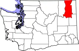 Map of Washington highlighting Stevens County | |
| Towns | ||
| CDPs | ||
| Other communities | ||
| Ghost towns | ||
| ||
This article is issued from Wikipedia. The text is licensed under Creative Commons - Attribution - Sharealike. Additional terms may apply for the media files.