Warbstow Bury
Warbstow Bury is an Iron Age hillfort about 0.5 miles (0.80 km) west of the village of Warbstow, in Cornwall, England. It is a scheduled monument.[1]
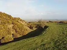
 Rampart and ditch at the south of the fort | |
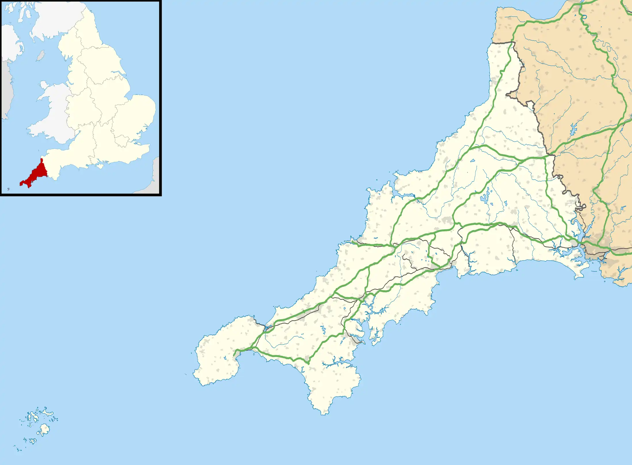
 Shown within Cornwall | |
| Location | Near Warbstow, Cornwall |
|---|---|
| Coordinates | 50°41′22″N 4°32′51″W |
| OS grid reference | SX 201 908 |
| Type | Hillfort |
| Area | 7.5 hectares (19 acres) |
| History | |
| Periods | Iron Age |
| Designated | 26 November 1928 |
| Reference no. | 1006710 |
Location and description
The site is 807 feet (246 m) above sea level, on a hill at the heads of two tributaries of the River Ottery.[1][2] There are views to Lundy Island and Dartmoor.
The fort is one of the largest earthworks in Cornwall. It is an oval enclosure, area about 7.5 hectares (19 acres). There are two concentric ramparts and ditches; the ramparts are up to 5.8 metres (19 ft) high, with ditches up to 2.7 metres (8.9 ft) deep. Between these, in the southern part, are the remains of an earlier rampart.[1][3]

The inner rampart has two original entrances, inturned and facing each other, on the north-west and south-east, and there are corresponding simple entrances in the outer rampart.[1][3]
Pillow mound

In the centre of the fort is a medieval rabbit warren: a rectangular mound, or pillow mound, about 22 metres (72 ft) long, 10 metres (33 ft) wide and 0.6 metres (2.0 ft) high. It is known as "The Giant's Grave" or "King Arthur's Grave".[1][2]
See also
References
- Historic England. "Large multivallate hillfort called Warbstow Bury and a pillow mound known as the Giant's Grave (1006710)". National Heritage List for England. Retrieved 17 April 2017.
- Warbstow Bury Warbstow & District Community Online, accessed 17 April 2017.
- Cornwall's Archaeological Heritage. The Historic Environment Unit, Cornwall County Council, 2003. Page 49.
External links
- Warbstow Bury: Re-writing the Story of a Cornish Hillfort Heritage Calling: A Historic England Blog