Wald im Pinzgau
Wald im Pinzgau is a municipality in the district of Zell am See (Pinzgau region), in the state of Salzburg in Austria.
Wald im Pinzgau | |
|---|---|
 | |
 Coat of arms | |
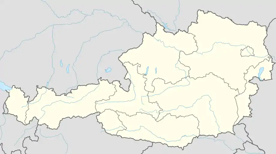 Wald im Pinzgau Location within Austria | |
| Coordinates: 47°15′00″N 12°13′00″E | |
| Country | Austria |
| State | Salzburg |
| District | Zell am See |
| Government | |
| • Mayor | Michael Obermoser (ÖVP) |
| Area | |
| • Total | 69.24 km2 (26.73 sq mi) |
| Elevation | 885 m (2,904 ft) |
| Population (2018-01-01)[2] | |
| • Total | 1,124 |
| • Density | 16/km2 (42/sq mi) |
| Time zone | UTC+1 (CET) |
| • Summer (DST) | UTC+2 (CEST) |
| Postal code | 5742 |
| Area code | 06565 |
| Vehicle registration | ZE |
| Website | www.wald.salzburg.at |
Municipal divisions
The villages in the municipality, apart from Wald, are (further up the valley) Hinterwaldberg, Königsleiten, Lahn, Vorderkrimml, and Vorderwaldberg, with a combined population of about 800.
The so-called Katastralgemeinden are Hinterwaldberg with 4,234.87 ha and Wald with 2,688.97 ha.
Population
| Year | Pop. | ±% |
|---|---|---|
| 1869 | 511 | — |
| 1880 | 504 | −1.4% |
| 1890 | 515 | +2.2% |
| 1900 | 575 | +11.7% |
| 1910 | 612 | +6.4% |
| 1923 | 594 | −2.9% |
| 1934 | 656 | +10.4% |
| 1939 | 536 | −18.3% |
| 1951 | 775 | +44.6% |
| 1961 | 847 | +9.3% |
| 1971 | 937 | +10.6% |
| 1981 | 977 | +4.3% |
| 1991 | 1,022 | +4.6% |
| 2001 | 1,176 | +15.1% |
| 2011 | 1,155 | −1.8% |
References
- "Dauersiedlungsraum der Gemeinden Politischen Bezirke und Bundesländer - Gebietsstand 1.1.2018". Statistics Austria. Retrieved 10 March 2019.
- "Einwohnerzahl 1.1.2018 nach Gemeinden mit Status, Gebietsstand 1.1.2018". Statistics Austria. Retrieved 9 March 2019.
This article is issued from Wikipedia. The text is licensed under Creative Commons - Attribution - Sharealike. Additional terms may apply for the media files.