Wageningen Airstrip
Wageningen Airstrip (IATA: AGI, ICAO: SMWA) is 8 kilometres (5.0 mi) north of Wageningen, in the Nickerie District of Suriname. Heavily used for cropdusting agriculture flights in this rice region of the country. Homebase of the Surinam Sky Farmers
Wageningen Airstrip | |||||||||||
|---|---|---|---|---|---|---|---|---|---|---|---|
| Summary | |||||||||||
| Airport type | Public | ||||||||||
| Operator | Luchtvaartdienst Suriname | ||||||||||
| Location | Wageningen, Suriname | ||||||||||
| Elevation AMSL | 6 ft / 2 m | ||||||||||
| Coordinates | 5°50′30″N 56°40′15″W | ||||||||||
| Map | |||||||||||
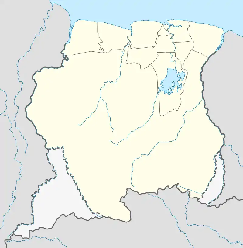 SMWA Location in Suriname | |||||||||||
| Runways | |||||||||||
| |||||||||||
Airlines and destinations
Airlines, Charter & Crop dusting companies serving this airport are:
| Airlines | Destinations |
|---|---|
| Blue Wing Airlines[3] | Charter: Paramaribo–Zorg en Hoop |
| Gum Air[4] | Charter: Paramaribo–Zorg en Hoop |
| Pegasus Air Services[5] | Charter: Paramaribo–Zorg en Hoop |
| Vortex Aviation Suriname | Charter: Paramaribo–Zorg en Hoop |
References
- Airport information for AGI at Great Circle Mapper.
- Bing Maps - Wageningen
- "Scheduled Flights - Bluewing Airlines". bluewingairlines.com. Retrieved 2016-06-14.
- "Gum Air - Destinations". gumair.com. Retrieved 2016-06-14.
- "Pegasus". pegasus.sr. Retrieved 2016-06-14.
This article is issued from Wikipedia. The text is licensed under Creative Commons - Attribution - Sharealike. Additional terms may apply for the media files.