Vilangadupakkam
Vilangadupakkam (Tamil: விளாங்காடுபாக்கம்), is a suburb located North of Chennai, a metropolitan city in Tamil Nadu, India.
Vilangadupakkam
விளாங்காடுபாக்கம் | |
|---|---|
Suburb | |
 Vilangadupakkam  Vilangadupakkam  Vilangadupakkam | |
| Coordinates: 13.195905°N 80.22093°E | |
| Country | |
| State | |
| District | Tiruvallur |
| Taluk | Ponneri |
| Metro | Chennai |
| Elevation | 18 m (59 ft) |
| Population | |
| • Total | 5,668[1] |
| Languages | |
| • Official | Tamil |
| Time zone | UTC+5:30 (IST) |
| PIN | 600052 |
| Telephone code | 044-xxxx |
| Vehicle registration | TN-18-xxxx & TN-20-xxxx(old) |
| Planning agency | CMDA |
| City | Chennai |
| Lok Sabha constituency | Thiruvallur |
| Vidhan Sabha constituency | Ponneri |
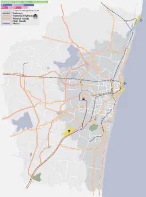
Location
Vilangadupakkam is located in between Madhavaram, Red Hills, Manali New Town and Gnayiru in North of Chennai. The arterial road in Vilangadupakkam is Madhavaram - Arumandai Road.
References
- "Census of India: Vilangadupakkam". www.censusindia.gov.in. Office of the Registrar General & Census Commissioner, India. Retrieved 4 April 2019.
External links
Places adjacent to Vilangadupakkam | ||||||||||||||||
|---|---|---|---|---|---|---|---|---|---|---|---|---|---|---|---|---|
| ||||||||||||||||
Areas of Chennai | |
|---|---|
| North |
|
| West |
|
| Central |
|
| South |
|
| District Headquarters | 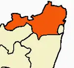 | |
|---|---|---|
| Country | ||
| State | ||
| Region | ||
| Revenue Divisions | ||
| Taluks | ||
| Revenue blocks | ||
| Municipal Corporation | ||
| Municipalities | ||
| Special Grade Town Panchayats | ||
| Town Panchayats | ||
| History | ||
| Places of interest |
| |
| Universities |
| |
This article is issued from Wikipedia. The text is licensed under Creative Commons - Attribution - Sharealike. Additional terms may apply for the media files.