Vernon, Iowa
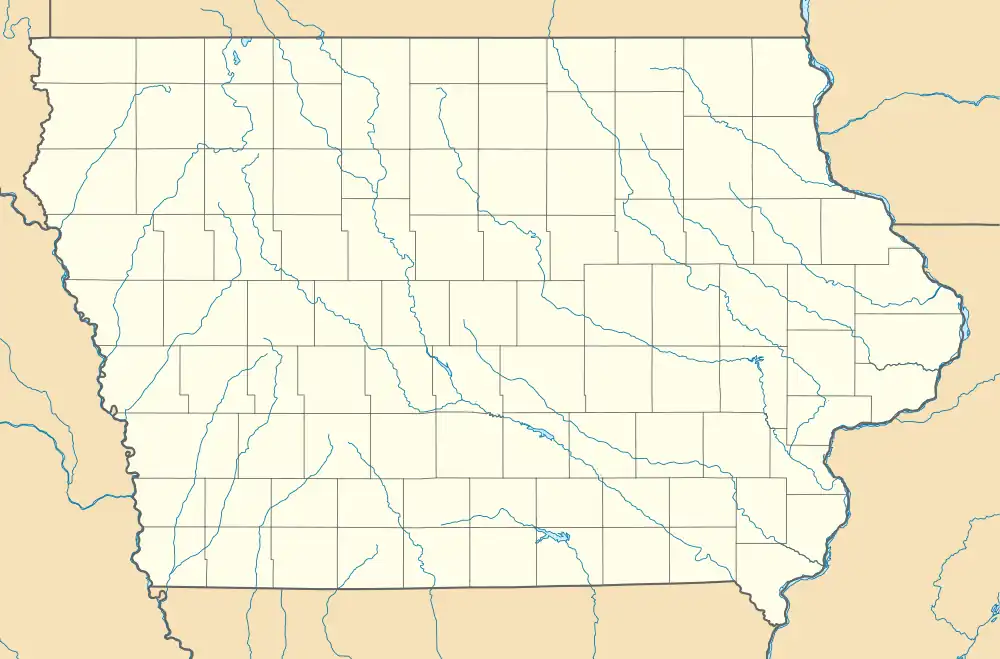
Vernon is an unincorporated community in Van Buren County, in the U.S. state of Iowa.[1]
Vernon, Iowa | |
|---|---|
 Vernon, Iowa | |
| Coordinates: 40°43′21″N 91°51′19″W | |
| Country | United States |
| State | Iowa |
| County | Van Buren |
| Elevation | 564 ft (172 m) |
| Time zone | UTC-6 (Central (CST)) |
| • Summer (DST) | UTC-5 (CDT) |
| GNIS feature ID | 462552[1] |
Geography
The community is across the Des Moines River from Bentonsport.[2]
History

Van Buren was platted on June 12, 1837, by Henry Smith, John Smith, S.C. Reed, and Isaac Ree. The community was originally known as South Bentonsport, as it lay on the south side of the Des Moines River, across from Bentonsport. During the early years, a ferry provided connection between Vernon and Bentonsport over the Des Moines.[3]
A grist mill was built in Vernon in 1845. This mill was later used as a wool mill and then a flour mill. A pottery opened in Vernon in 1848. The Methodist Episcopal Church of Vernon opened in 1856.[3]
The Vernon post office opened in 1853.[4] By the 1870s, a hotel and blacksmith shop were also located in Vernon.[3]
The population of Vernon was 386 in 1902.[5] The Vernon post office closed in 1903.[4]
Vernon's population was 78 in 1925.[6]
See also
References
- U.S. Geological Survey Geographic Names Information System: Vernon, Iowa
- "Van Buren County Welcome Center". villagesofvanburen.com. Retrieved June 18, 2021.
- Western Historical Co (1878). The History of Van Buren County, Iowa, containing a history of the county, its cities, towns, &c, a biographical directory of citizens, war record of its volunteers in the late rebellion, general and local statistics ... history of the Northwest, history of Iowa ... &c . Chicago, Western Historical Co. pp. 491–492.
- "Post Offices". www.postalhistory.com. Retrieved November 26, 2022.
- Cram's Modern Atlas: The New Unrivaled New Census Edition. J. R. Gray & Company. 1902. pp. 203–207.
- Company, Rand McNally and (1925). Premier Atlas of the World: Containing Maps of All Countries of the World, with the Most Recent Boundary Decisions, and Maps of All the States,territories, and Possessions of the United States with Population Figures from the Latest Official Census Reports, Also Data of Interest Concerning International and Domestic Political Questions. Rand McNally & Company. p. 190.