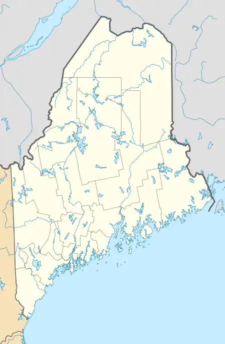
Vanceboro (CDP), Maine
Vanceboro is a census-designated place (CDP) and the primary village in the town of Vanceboro, Washington County, Maine, United States. It is in northeastern Washington County, on the west side of the St. Croix River, which forms the Canada–United States border. Directly across the border is the small community of St. Croix, New Brunswick.
Vanceboro, Maine | |
|---|---|
 Vanceboro  Vanceboro | |
| Coordinates: 45°33′45″N 67°25′46″W | |
| Country | |
| State | Maine |
| County | Washington |
| Town | Vanceboro |
| Area | |
| • Total | 0.82 sq mi (2.14 km2) |
| • Land | 0.72 sq mi (1.86 km2) |
| • Water | 0.11 sq mi (0.27 km2) |
| Elevation | 422 ft (129 m) |
| Population (2020) | |
| • Total | 94 |
| • Density | 130.92/sq mi (50.52/km2) |
| Time zone | UTC-5 (Eastern (EST)) |
| • Summer (DST) | UTC-4 (EDT) |
| ZIP Code | 04491 |
| Area code | 207 |
| FIPS code | 23-78640 |
| GNIS feature ID | 2806294[2] |
Maine State Route 6 passes through the center of Vanceboro, crossing the St. Croix River at the Vanceboro - St. Croix Border Crossing. Route 6 leads southwest 20 miles (32 km) to U.S. Route 1 in Topsfield, while to the east New Brunswick Route 4 leads 17 miles (27 km) to Thomaston Corner. The community is also the site of the Saint Croix–Vanceboro Railway Bridge, the only crossing between Canada and the United States to be attacked by a foreign force.
Vanceboro was first listed as a CDP prior to the 2020 census.[2]
References
- "2020 U.S. Gazetteer Files". United States Census Bureau. Retrieved April 8, 2022.
- "Vanceboro Census Designated Place". Geographic Names Information System. United States Geological Survey, United States Department of the Interior.
- "Census of Population and Housing". Census.gov. Retrieved June 4, 2016.
