Všetaty (Mělník District)
Všetaty is a market town in Mělník District in the Central Bohemian Region of the Czech Republic. It has about 2,400 inhabitants.
Všetaty | |
|---|---|
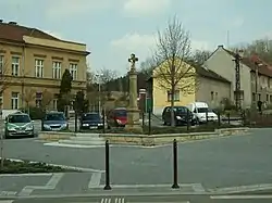 Main square in Všetaty | |
 Flag 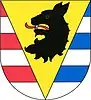 Coat of arms | |
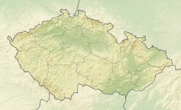 Všetaty Location in the Czech Republic | |
| Coordinates: 50°16′55″N 14°35′35″E | |
| Country | |
| Region | Central Bohemian |
| District | Mělník |
| First mentioned | 1255 |
| Area | |
| • Total | 12.87 km2 (4.97 sq mi) |
| Elevation | 175 m (574 ft) |
| Population (2023-01-01)[1] | |
| • Total | 2,394 |
| • Density | 190/km2 (480/sq mi) |
| Time zone | UTC+1 (CET) |
| • Summer (DST) | UTC+2 (CEST) |
| Postal code | 277 16 |
| Website | www |
Administrative parts
The village of Přívory is an administrative part of Všetaty.
Geography
Všetaty is located about 20 kilometres (12 mi) north of Prague. It lies in the Central Elbe Table. The highest point is the flat hill Cecemín at 239 m (784 ft) above sea level. The Košátecký Stream flows through the market town.
History
The first written mention of Všetaty is from 1255. Přívory was first mentioned in 1321. The railway was built in 1864, but the station was not opened until 1873.[2]
Transport
Všetaty is an important railway hub. Two main railways Prague–Turnov and Kolín–Rumburk crosses here.
Sights
The landmark of Všetaty is the Church of Saints Peter and Paul. It was built in the Baroque style in 1780 and rebuilt in the Neoromanesque style in 1885.[3]
Notable people
- Jan Palach (1948–1969), student who self-immolated himself in a protest against the Warsaw Pact invasion of Czechoslovakia
References
- "Population of Municipalities – 1 January 2023". Czech Statistical Office. 2023-05-23.
- "Historie" (in Czech). Městys Všetaty. Retrieved 2023-03-02.
- "Kostel sv. Petra a Pavla" (in Czech). National Heritage Institute. Retrieved 2023-03-02.