Urrao Airport
Urrao Airport (IATA: URR, ICAO: SKUR) is an airport serving Urrao, a town in the Antioquia Department of Colombia. The runway and town are in an elevated mountain valley on the eastern bank of the small Penderisco River, an eventual tributary of the Atrato River.
Urrao Airport Alí Piedrahita Airport | |||||||||||
|---|---|---|---|---|---|---|---|---|---|---|---|
| Summary | |||||||||||
| Airport type | Public | ||||||||||
| Serves | Urrao | ||||||||||
| Elevation AMSL | 6,090 ft / 1,856 m | ||||||||||
| Coordinates | 6°19′35″N 76°08′25″W | ||||||||||
| Map | |||||||||||
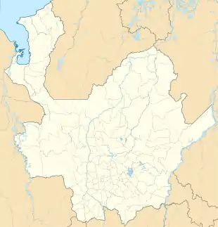 URR 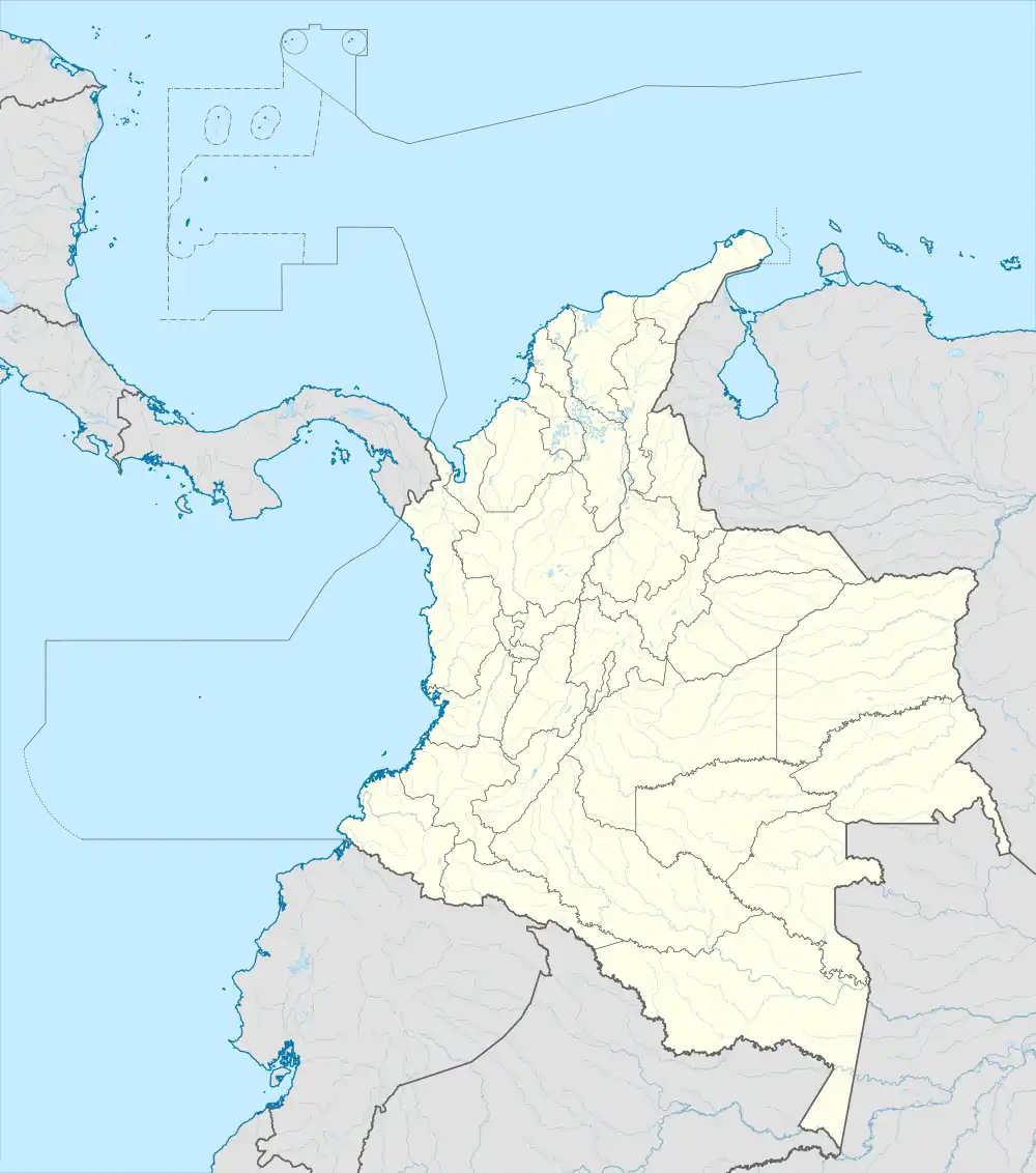 URR | |||||||||||
| Runways | |||||||||||
| |||||||||||
Sources: GCM[1] | |||||||||||
References
- Airport information for Urrao Airport at Great Circle Mapper.
External links
This article is issued from Wikipedia. The text is licensed under Creative Commons - Attribution - Sharealike. Additional terms may apply for the media files.