La Florida Airport (Colombia)
La Florida Airport (IATA: TCO, ICAO: SKCO) is an airport serving the Pacific coast city of Tumaco in the Nariño Department of Colombia. The airport is on an island connected to the mainland through a series of bridges.
La Florida Airport Aeropuerto La Florida | |||||||||||
|---|---|---|---|---|---|---|---|---|---|---|---|
 | |||||||||||
| Summary | |||||||||||
| Airport type | Public | ||||||||||
| Operator | Government | ||||||||||
| Location | Tumaco, Colombia | ||||||||||
| Elevation AMSL | 23 ft / 7 m | ||||||||||
| Coordinates | 1°48′50″N 78°45′00″W | ||||||||||
| Map | |||||||||||
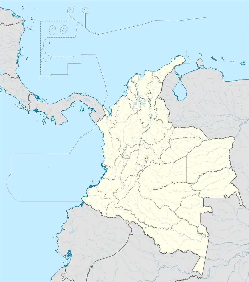 TCO Location of airport in Colombia | |||||||||||
| Runways | |||||||||||
| |||||||||||
The Tumaco non-directional beacon (Ident: TCO) and Tumaco VOR-DME (Ident: TCO) are located on the field.[4][5]
References
- "Airport information for SKCO". World Aero Data. Archived from the original on 2019-03-05.
{{cite web}}: CS1 maint: unfit URL (link) Data current as of October 2006. - Airport information for TCO at Great Circle Mapper.
- Google Maps - La Florida
- Tumaco NDB
- Tumaco VOR
External links
- OpenStreetMap - La Florida
- OurAirports - La Florida
- SkyVector - La Florida
- FallingRain - La Florida Airport
- Accident history for TCO at Aviation Safety Network
- Current weather for SKCO at NOAA/NWS
This article is issued from Wikipedia. The text is licensed under Creative Commons - Attribution - Sharealike. Additional terms may apply for the media files.