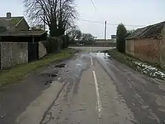
Upper Staploe
Upper Staploe is a hamlet located in the Borough of Bedford in the county of Bedfordshire, England.[1] The settlement is close to Honeydon and Staploe, and forms part of the Staploe civil parish.[2] Upper Staploe lies close to the county border with the Huntingdonshire district of Cambridgeshire.[1]
| Upper Staploe | |
|---|---|
 | |
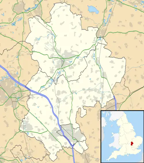 Upper Staploe Location within Bedfordshire | |
| OS grid reference | TL141597 |
| Civil parish | |
| Unitary authority | |
| Ceremonial county | |
| Region | |
| Country | England |
| Sovereign state | United Kingdom |
| Post town | ST NEOTS |
| Postcode district | PE19 |
| Dialling code | 01480 |
| Police | Bedfordshire |
| Fire | Bedfordshire and Luton |
| Ambulance | East of England |
| UK Parliament | |
References
- Ordnance Survey: Landranger map sheet 153 Bedford & Huntingdon (St Neots & Biggleswade) (Map). Ordnance Survey. 2013. ISBN 9780319231722.
- "Ordnance Survey Election Maps". www.ordnancesurvey.co.uk. Ordnance Survey. Retrieved 3 April 2016.
This article is issued from Wikipedia. The text is licensed under Creative Commons - Attribution - Sharealike. Additional terms may apply for the media files.