Uhrovské Podhradie
Uhrovské Podhradie (Hungarian: Zayváralja) is a village and municipality in Bánovce nad Bebravou District in the Trenčín Region of north-western Slovakia. The village is situated close to the ruins of a Roman castle Uhrovec.
Uhrovské Podhradie | |
|---|---|
Municipality | |
 Uhrovec Castle | |
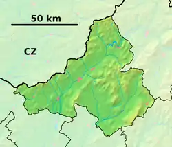 Uhrovské Podhradie Location of Uhrovské Podhradie in the Trenčín Region 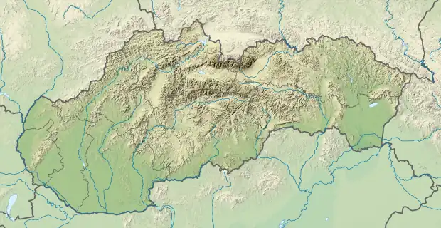 Uhrovské Podhradie Uhrovské Podhradie (Slovakia) | |
| Coordinates: 48°46′N 18°23′E | |
| Country | Slovakia |
| Region | Trenčín |
| District | Bánovce nad Bebravou |
| First mentioned | 1481 |
| Area | |
| • Total | 12.522 km2 (4.835 sq mi) |
| Elevation | 340 m (1,120 ft) |
| Population | |
| • Total | 46 |
| • Density | 3.7/km2 (9.5/sq mi) |
| Postal code | 956 41 (pošta Uhrovec) |
| Area code | 421-38 |
| Car plate | BN |
History
In historical records the village was first mentioned in 1481.
Geography
The municipality lies at an altitude of 340 metres and covers an area of 12.522 km2. It has a population of about 46 people.
External links
This article is issued from Wikipedia. The text is licensed under Creative Commons - Attribution - Sharealike. Additional terms may apply for the media files.