Tučapy (Uherské Hradiště District)
Tučapy is a municipality and village in Uherské Hradiště District in the Zlín Region of the Czech Republic. It has about 300 inhabitants.
Tučapy | |
|---|---|
%252C_hlavn%C3%AD_ulice.jpg.webp) Main street | |
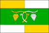 Flag  Coat of arms | |
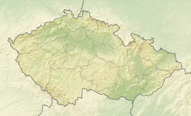 Tučapy Location in the Czech Republic | |
| Coordinates: 49°2′53″N 17°19′53″E | |
| Country | |
| Region | Zlín |
| District | Uherské Hradiště |
| First mentioned | 1141 |
| Area | |
| • Total | 2.46 km2 (0.95 sq mi) |
| Elevation | 320 m (1,050 ft) |
| Population (2023-01-01)[1] | |
| • Total | 252 |
| • Density | 100/km2 (270/sq mi) |
| Time zone | UTC+1 (CET) |
| • Summer (DST) | UTC+2 (CEST) |
| Postal code | 687 09 |
| Website | www |
Tučapy lies approximately 10 kilometres (6 mi) west of Uherské Hradiště, 32 km (20 mi) south-west of Zlín, and 240 km (150 mi) south-east of Prague.
This article is issued from Wikipedia. The text is licensed under Creative Commons - Attribution - Sharealike. Additional terms may apply for the media files.