Tricht
Tricht is a village in the Dutch province of Gelderland. It is a part of the municipality of West Betuwe, and lies about 10 km west of Tiel.
Tricht | |
|---|---|
Village | |
 View on Tricht | |
 Coat of arms | |
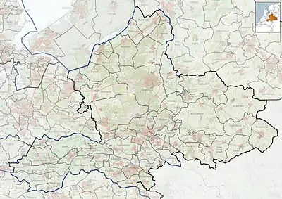
 Tricht Location in the Netherlands  Tricht Tricht (Netherlands) | |
| Coordinates: 51°53′N 5°16′E | |
| Country | Netherlands |
| Province | Gelderland |
| Municipality | West Betuwe |
| Area | |
| • Total | 11.64 km2 (4.49 sq mi) |
| Elevation | 4 m (13 ft) |
| Population (2021)[1] | |
| • Total | 2,145 |
| • Density | 180/km2 (480/sq mi) |
| Time zone | UTC+1 (CET) |
| • Summer (DST) | UTC+2 (CEST) |
| Postal code | 4196[1] |
| Dialing code | 0345 |
History
It was first mentioned in 1108 as Treth, and means ferry (Latin: traiectus).[3] Two centres developed perpendicular to the dike on the Waal River. The tower of the Dutch Reformed Church dates from around 1400. The church itself is from the late 15th century. Crayestein is a medieval castle, however only the 17th century gate remains. An estate has built in its place in 1855.[4] In 1840, Tricht was home to 768 people.[5] In 1868, Tricht was cut in two by the railway line Utrecht-Den Bosch.[4]
On 25 June 1967, Tricht was hit by a tornado, destroying part of the town and killing 5 of its inhabitants; 32 people were wounded. One-third of the Tricht population lost their homes.[6]
Gallery
 Farm in Tricht
 In bloom
 Aftermath of the tornado
 Gate to Crayestein
References
- "Kerncijfers wijken en buurten 2021". Central Bureau of Statistics. Retrieved 24 March 2022.
two entries
- "Postcodetool for 4196AA". Actueel Hoogtebestand Nederland (in Dutch). Het Waterschapshuis. Retrieved 24 March 2022.
- "Tricht - (geografische naam)". Etymologiebank (in Dutch). Retrieved 24 March 2022.
- Ronald Stenvert & Sabine Broekhoven (2000). "Tricht" (in Dutch). Zwolle: Waanders. ISBN 90 400 9406 3. Retrieved 24 March 2022.
- "Tricht". Plaatsengids (in Dutch). Retrieved 24 March 2022.
- "Zware windhozen in Chaam en Tricht 1967". Dutch Meteorological Institute. Retrieved 24 March 2022.