Trempealeau National Wildlife Refuge
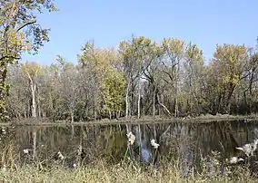
Trempealeau National Wildlife Refuge is a 6,226-acre (25.20 km2)[1] National Wildlife Refuge located along the Upper Mississippi River in extreme southern Buffalo County and extreme southwestern Trempealeau County in Wisconsin, United States.
| Trempealeau National Wildlife Refuge | |
|---|---|
IUCN category IV (habitat/species management area) | |
 | |
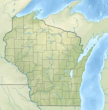 Location of Trempealeau National Wildlife Refuge Show map of Wisconsin Trempealeau National Wildlife Refuge (the United States) Show map of the United States | |
| Location | Buffalo, Trempealeau counties, Wisconsin, United States |
| Nearest city | Winona, Minnesota |
| Coordinates | 44°03′00″N 91°34′00″W |
| Area | 6,226 acres (25.20 km2) |
| Established | 1936 |
| Governing body | U.S. Fish and Wildlife Service |
| Website | Trempealeau National Wildlife Refuge |
It is in part a wetland consisting of backwaters away from the Mississippi and Trempealeau River, and is a significant element of the Mississippi Flyway. It is part of the Driftless Area, a portion of North America which remained free of ice during the last ice age, creating in part the deep gorge of the Mississippi, quite visible from this refuge.
It is also a sand prairie, including grasses such as big bluestem, indiangrass, and switchgrass capable of growing to eight to nine feet (2.4 to 2.7 m) in height.[2]
Images
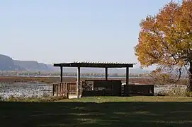 Observation deck
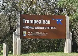 Sign
Sign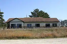 Visitor Center
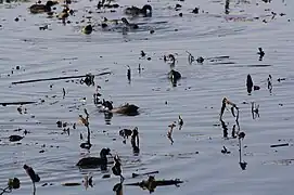
References
- "Trempealeau National Wildlife Refuge". Fish and Wildlife Service. Retrieved July 15, 2007.
- "A Prairie Wonderland". Fish and Wildlife Service. Retrieved July 15, 2007.
![]() This article incorporates public domain material from websites or documents of the United States Fish and Wildlife Service.
This article incorporates public domain material from websites or documents of the United States Fish and Wildlife Service.
External links
 Media related to Trempealeau National Wildlife Refuge at Wikimedia Commons
- Trempealeau National Wildlife Refuge
| Federal |
| ||||||||||||||||
|---|---|---|---|---|---|---|---|---|---|---|---|---|---|---|---|---|---|
| State |
| ||||||||||||||||
Authority control databases | |
|---|---|
| International | |
| National | |