Township 12, Benton County, Arkansas
Township 12 is one of thirteen current townships in Benton County, Arkansas, USA. As of the 2010 census, its total population was 15,158.
Township 12 | |
|---|---|
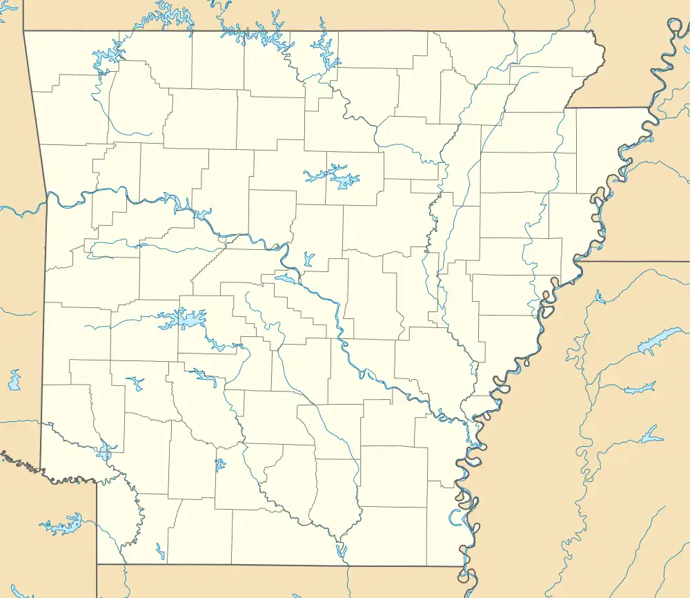 Township 12 Location in Arkansas | |
| Coordinates: 36°14′21″N 94°31′22″W | |
| Country | |
| State | |
| County | Benton |
| Area | |
| • Total | 43.028 sq mi (111.44 km2) |
| • Land | 41.913 sq mi (108.55 km2) |
| • Water | 1.115 sq mi (2.89 km2) |
| Population (2010) | |
| • Total | 15,158 |
| • Density | 361.65/sq mi (139.63/km2) |
| Time zone | UTC-6 (CST) |
| • Summer (DST) | UTC-5 (CDT) |
| Area code | 479 |
Geography
According to the United States Census Bureau, Township 12 covers an area of 43.028 square miles (111.44 km2); 41.913 square miles (108.55 km2) of land and 1.115 square miles (2.89 km2) of water.
Cities, towns, and villages
- Gentry (most of)
- Siloam Springs (more than half of)
References
- United States Census Bureau 2008 TIGER/Line Shapefiles
- United States Board on Geographic Names (GNIS)
- United States National Atlas
External links
Municipalities and communities of Benton County, Arkansas, United States | ||
|---|---|---|
| Cities | 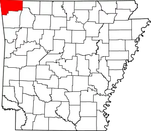 Map of Arkansas highlighting Benton County | |
| Towns | ||
| Townships | ||
| CDPs | ||
| Other communities | ||
| Ghost towns | ||
| Footnotes | ‡This populated place also has portions in an adjacent county or counties Bethel Heights, a former municipality, is now a part of Springdale | |
This article is issued from Wikipedia. The text is licensed under Creative Commons - Attribution - Sharealike. Additional terms may apply for the media files.