Ti-Tree Airfield
Ti-Tree Airfield (ICAO:YTIT), also known as Ti Tree aeroplane landing area (ALA) is a landing strip in the Northern Territory of Australia located in the town of Ti-Tree.
Ti-Tree Airfield | |||||||||||
|---|---|---|---|---|---|---|---|---|---|---|---|
| Summary | |||||||||||
| Airport type | public | ||||||||||
| Owner | Northern Territory Government | ||||||||||
| Operator | Central Desert Region | ||||||||||
| Serves | Ti-Tree, Northern Territory | ||||||||||
| Location | Ti-Tree, Northern Territory | ||||||||||
| Time zone | ACST (+9:30) | ||||||||||
| • Summer (DST) | ACST (+9:30) | ||||||||||
| Elevation AMSL | 1,600 [2] ft / 488 [2] m | ||||||||||
| Coordinates | 22°07′38″S 133°25′21″E[3] | ||||||||||
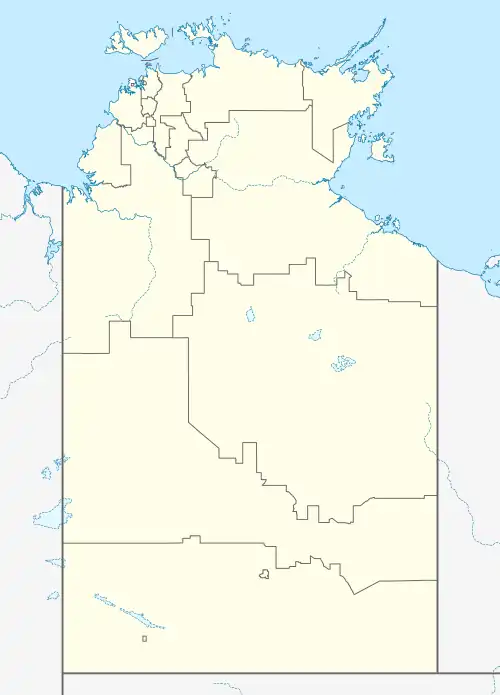
| Map | |||||||||||
 YTIT Location in the Northern Territory | |||||||||||
| Runways | |||||||||||
| |||||||||||
Description
The airfield is located on the east side of the town and the Stuart Highway. Its single runway has a length of 4,265 feet (1,300 m), a width of 92 feet (28 m), a sealed surface and an approximate north-south orientation. The airfield is owned by the Northern Territory Government and operated by the local government authority, the Central Desert Region.[4]: 7 [2][5]
Future developments
In 2015, the draft EIS for a proposed mine at Mount Peake which is located about 70 kilometres (43 mi) north-west of Ti-Tree included a proposal to upgrade the airfield to allow its use by aircraft such as the Fokker F100 or BAE146 to fly-in fly-out personnel involved in the mine's establishment and its subsequent operation. The proposed work included the increasing the width of the runway and the provision of a terminal building.[4]: 5, 7
Accidents and incidents
- On 6 July 2012, a Gippsland Aeronautics GA-8 Airvan aircraft on a night training flight from Tennant Creek to Alice Springs experienced an engine failure and carried out an emergency landing on the Stuart Highway about 4 kilometres (2.5 mi) of Ti-Tree after its crew were unable to activate the airfield's runway PAL system.[6]
References
- "Ti Tree Airport (YTIT)". World Airport Codes. Fubra Limited. Retrieved 28 October 2019.
- "YTIT - Airport". The Great Circle Mapper. Retrieved 29 October 2019.
- "Place Names Register Extract for "Ti-Tree Airstrip"". NT Place Names Register. Northern Territory Government. Retrieved 28 October 2019.
- GHD (December 2015). "TNG Limited Mount Peake Project Economic and Social Impact Assessment Report" (PDF). GHD. pp. i, 5 & 7. Retrieved 29 October 2019.
- "Council Services Coordinator". Central Desert Regional Council. Retrieved 29 October 2019.
- "Total power loss – Gippsland Aeronautics GA-8 Airvan, VH-FCK Ti Tree, Northern Territory – 6 July 2012 (AO-2012-092)" (PDF). Australian Transport Safety Bureau. 29 October 2012. p. 1. Retrieved 29 October 2019.