Thompson Falls Hydroelectric Dam Historic District
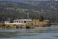
Thompson Falls Hydroelectric Dam Historic District is an 80 acres (32 ha) historic district in Thompson Falls which includes six contributing buildings. It is located on the Clark Fork River, on alternate U.S. Route 10, within the northwestern part of Thompson Falls at the Thompson Falls Dam.
Thompson Falls Hydroelectric Dam Historic District | |
 | |
  | |
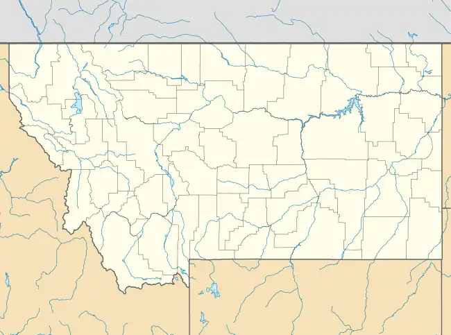
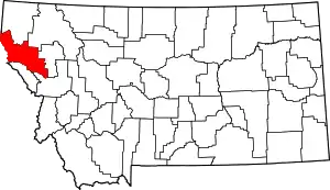
| Location | US ALT 10 at Clark Fork River within NW part of Thompson Falls, Thompson Falls, Montana |
|---|---|
| Area | 80 acres (32 ha) |
| Built | 1912 |
| Built by | Peppard, O.E.; Cowles, William |
| MPS | Thompson Falls MRA |
| NRHP reference No. | 86002756[1] (original) 100007902 (increase) |
| Significant dates | |
| Added to NRHP | October 7, 1986 |
| Boundary increase | July 6, 2022 |
It includes the St. Lukes Hospital, a two-story frame building built in 1910, which was the first community hospital in Thompson Falls.[2]
References
- "National Register Information System". National Register of Historic Places. National Park Service. July 9, 2010.
- "National Register of Historic Places Inventory/Nomination: Thompson Falls Hydroelectric Dam Historic District". National Park Service. Retrieved August 31, 2017. With nine photos from 1985.
This article is issued from Wikipedia. The text is licensed under Creative Commons - Attribution - Sharealike. Additional terms may apply for the media files.
