Tewaukon National Wildlife Refuge
Tewaukon National Wildlife Refuge is located in southeastern North Dakota along the western edge of the northern tallgrass prairie, about 5 miles (8.0 km) south of Cayuga, in Sargent County. The Wild Rice River flows through the Refuge and then into Lake Tewaukon. Established in 1945, the 8,363-acre (33.84 km2) Refuge is located in the Prairie Pothole Region, one of the most biologically productive areas on earth. It lies within the Tewaukon Wetland Management District.
| Tewaukon National Wildlife Refuge | |
|---|---|
IUCN category IV (habitat/species management area) | |
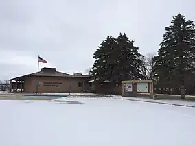 Visitor Center | |
 Map of the United States | |
| Location | Sargent County, North Dakota, United States |
| Nearest city | Cayuga, North Dakota |
| Coordinates | 46.00412°N 97.38509°W[1] |
| Area | 8,363 acres (33.84 km2) |
| Established | 1945 |
| Governing body | U.S. Fish and Wildlife Service |
| Website | Tewaukon National Wildlife Refuge |
References
a. Tewaukon NWR website, https://www.fws.gov/refuge/tewaukon
b. Tewaukon Wetlands Management District website, https://www.fws.gov/refuge/tewaukon-wetland-management-district/visit-us
![]() This article incorporates public domain material from websites or documents of the United States Fish and Wildlife Service.
This article incorporates public domain material from websites or documents of the United States Fish and Wildlife Service.