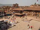
Tathali
Tathali (Nepali: ताथली) is a City and municipality in Bhaktapur District in the Bagmati Zone of central Nepal. At the time of the 1991 Nepal census it had a population of 4,520 with 751 houses in it.[1]
Tathali
ताथली | |
|---|---|
 Tathali Location in Nepal | |
| Coordinates: 27.67°N 85.47°E | |
| Country | |
| Zone | Bagmati Zone |
| District | Bhaktapur District |
| Population (1991) | |
| • Total | 4,520 |
| • Religions | Hindu |
| Time zone | UTC+5:45 (Nepal Time) |
| Postal code | 44805 |
| Area code | 01 |
References
- "Nepal Census 2001". Nepal's Village Development Committees. Digital Himalaya. Retrieved 2008-08-26.
Headquarter: Bhaktapur | |||
 | Municipalities | 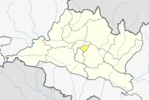 | |
| Former VDCs | |||
This article is issued from Wikipedia. The text is licensed under Creative Commons - Attribution - Sharealike. Additional terms may apply for the media files.