Tana, Gujarat
Tana is a village under administration of the tehsil of Sihor, Bhavnagar district (14 kilometres from the district headquarters, Bhavnagar), Gujarat, India.
Tana | |
|---|---|
Village | |
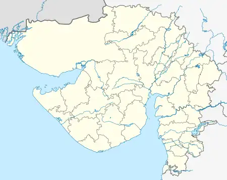
 Tana Location in Gujarat | |
| Coordinates: 21°34′39″N 71°58′44″E | |
| Country | India |
| State | Gujarat |
| Taluka | Sihor |
| District | Bhavnagar |
| Area | |
| • Total | 4.33 km2 (1.67 sq mi) |
| Elevation | 42 m (138 ft) |
| Population (2011) | |
| • Total | 10,774 |
| • Density | 2,500/km2 (6,400/sq mi) |
| Time zone | UTC+5:30 (IST) |
| Postal code | 364260 |
| Area code | 02846 |
Demographics and geography
Tana's native language is Gujarati. As of 2011, Tana's population of 10,774 people lives in 1927 households. Tana also has:
- a female population of 5,236.
- a literacy rate of 67.2%; a female literacy rate of 29.3.
- a Scheduled Tribes and Castes population of 740.
- a working proportion of the population of 39.4%.
- a population of 1,334 people under 6 years of age; 559 females.
- 0.318 square kilometres of non-agricultural land.
- 2.203 square kilometres of irrigated land.
- one primary health care center and two secondary health centers.
References
This article is issued from Wikipedia. The text is licensed under Creative Commons - Attribution - Sharealike. Additional terms may apply for the media files.