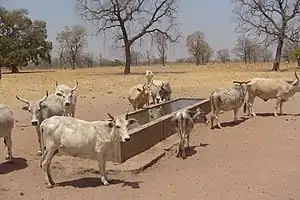
Tambacounda Department
Tambacounda Department is one of the 45 departments of Senegal, and one of the four making up the Tambacounda Region. It formerly covered an area of 20,328 km² and in 2013 had an estimated population of 283,769. However in 2005 it was reduced in size to create the new Koumpentoum Department.
Tambacounda | |
|---|---|
 | |
 Former location in the Tambacounda Region | |
| Country | |
| Region | Tambacounda Region |
| Capital | Tambacounda |
| Area | |
| • Total | 20,328 km2 (7,849 sq mi) |
| Population (2013 census) | |
| • Total | 299,163 |
| • Density | 15/km2 (38/sq mi) |
| Time zone | UTC+0 (GMT) |
The department has one only urban commune, that of Tambacounda.
The rest of the department is divided into three arrondissements, which in turn are divided into rural districts (communautés rurales):
- Koussanar Arrondissement:
- Koussanar
- Sinthiou Malème
- Makacolibantang Arrondissement:
- Makacolibantang
- Niani Toucouleur
- Ndoga Babacar
- Missirah Arrondissement:
- Dialacoto
- Missirah
- Néttéboulou
Historic Sites [1]
- Railway Station and Railway Hotel in Tambacounda
- The building housing the Prefecture in Tambacounda
- Tata (fortification) of Maba at Ndoungoussine
- Wells and historic remains at Ndoungoussine
- Megalithic site at Thiékène Boussoura
- Megalithic site at Kodiam
- Megalithic site at Saré Diouldé
- Megalithic site at Saré Sékourou
This article is issued from Wikipedia. The text is licensed under Creative Commons - Attribution - Sharealike. Additional terms may apply for the media files.