Taetan Airport
T'aet'an-pihaengjang Airport is an airport in Taetan, Hwanghae-namdo, North Korea. It is sited in a valley approximately 42 km west-northwest of Haeju.
T'aet'an-pihaengjang Airport | |||||||||||||||
|---|---|---|---|---|---|---|---|---|---|---|---|---|---|---|---|
| Summary | |||||||||||||||
| Airport type | Military | ||||||||||||||
| Serves | Taetan, North Korea | ||||||||||||||
| Elevation AMSL | 246 ft / 75 m | ||||||||||||||
| Coordinates | 38°07′48.50″N 125°14′34.90″E | ||||||||||||||
| Map | |||||||||||||||
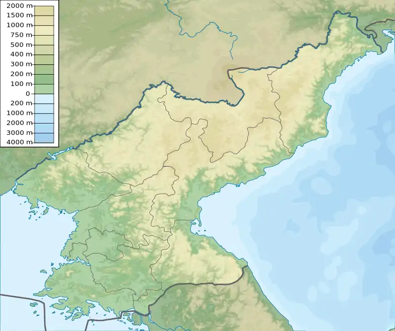 Taetan  Taetan  Taetan .svg.png.webp) Taetan | |||||||||||||||
| Runways | |||||||||||||||
| |||||||||||||||
| Taetan Airport | |
| Chosŏn'gŭl | 태탄비행장 |
|---|---|
| Hancha | |
| Revised Romanization | Taetan-bihaengjang |
| McCune–Reischauer | T'aet'an-pihaengjang |
Facilities
The airfield has two concrete runways that are nearly parallel. Runway 10L/28R measures 8170 x 131 feet (2490 x 40 m) and runway 10R/28L measures 9220 x 79 feet (2810 x 24 m).[1] A single taxiway extends from the end of 28L, then turns south and splits into two taxiways which access underground aircraft shelters.
References
- Landings database page "Landings.Com", accessed 13 Aug 2010,
This article is issued from Wikipedia. The text is licensed under Creative Commons - Attribution - Sharealike. Additional terms may apply for the media files.