Taconite Harbor, Minnesota
Taconite Harbor is an unincorporated community in Schroeder Township, Cook County, Minnesota, United States.
Taconite Harbor | |
|---|---|
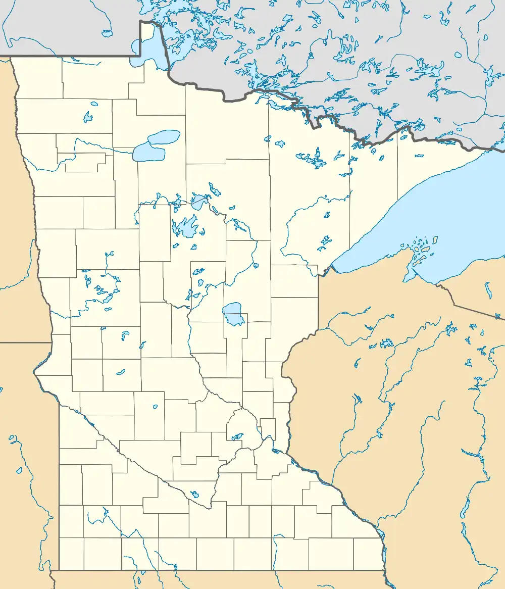 Taconite Harbor Location of the community of Taconite Harbor within Schroeder Township, Cook County  Taconite Harbor Taconite Harbor (the United States) | |
| Coordinates: 47°31′21″N 90°55′44″W | |
| Country | United States |
| State | Minnesota |
| County | Cook |
| Elevation | 692 ft (211 m) |
| Time zone | UTC-6 (Central (CST)) |
| • Summer (DST) | UTC-5 (CDT) |
| Area code | 218 |
| GNIS feature ID | 658592[1] |
The community is located on the North Shore of Lake Superior.
Taconite Harbor is located 33 miles southwest of the city of Grand Marais; and 51 miles northeast of the city of Two Harbors.
Minnesota Highway 61 serves as a main route in the community.
The community of Schroeder is immediately northeast of Taconite Harbor.
Development

Currently, Taconite Harbor consists of a power plant, foundations and an abandoned basketball court.[2] As of 2009, the Minnesota Power Company is looking towards development on an area that they own, but do not need. This development may include a sewer system, various commercial businesses centered on a village square, paved parking lots, and a City Hall (which would then make Taconite Harbor an incorporated city). The community is also expected to be a major stop along the Gitchi-Gami State Trail.[3]
Education
All of the county is zoned to Cook County ISD 166.[4]
References
- "US Board on Geographic Names". United States Geological Survey. October 25, 2007. Retrieved January 31, 2008.
- Wurzer, Cathy (2008). Tales of the Road: Highway 61. pp. 24-26.
- Future Development in Taconite Harbor (pdf). Retrieved on 2009-7-14.
- "2020 CENSUS - SCHOOL DISTRICT REFERENCE MAP: Cook County, MN" (PDF). U.S. Census Bureau. Retrieved August 12, 2021.
Municipalities and communities of Cook County, Minnesota, United States | ||
|---|---|---|
| City | 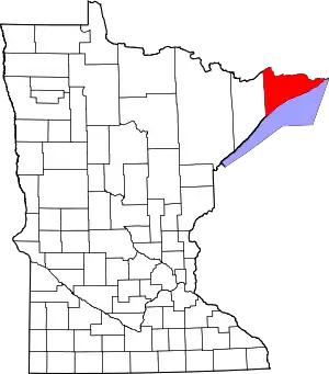 Map of Minnesota highlighting Cook County | |
| Townships | ||
| Unorganized territories | ||
| CDP | ||
| Unincorporated communities | ||
| Indian reservation | ||
| Ghost towns | ||