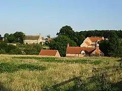
Stroxton
Stroxton (/ˈstroʊsən/) is a village in the South Kesteven district of Lincolnshire, England. It is situated 3 miles (4.8 km) south from the centre of Grantham and about 1 mile (1.6 km) north-west from Great Ponton and the A1 road.[1]
| Stroxton | |
|---|---|
 Stroxton | |
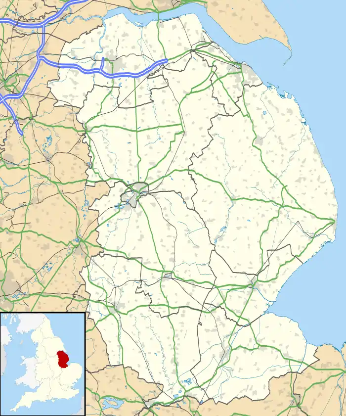 Stroxton Location within Lincolnshire | |
| • London | 95 mi (153 km) S |
| Civil parish | |
| District | |
| Shire county | |
| Region | |
| Country | England |
| Sovereign state | United Kingdom |
| Post town | GRANTHAM |
| Postcode district | NG33 |
| Dialling code | 01476 |
| Police | Lincolnshire |
| Fire | Lincolnshire |
| Ambulance | East Midlands |
| UK Parliament | |
At one time Stroxton was a civil parish but in 1931 the parish was merged with nearby Little Ponton to form the parish of Little Ponton and Stroxton .[2]
The village comprises 15 households. The parish church is dedicated to All Saints.
References
- Grantham: Bottesford & Colsterworth (Map) (A1 ed.). 1:25 000. OS Explorer. Ordnance survey of Great Britain. 3 January 2006. § 247. ISBN 9780319238332.
- "Little Ponton and Stroxton CP through time". A Vision of Britain through Time. GB Historical GIS / University of Portsmouth. Retrieved 12 September 2013.
External links
This article is issued from Wikipedia. The text is licensed under Creative Commons - Attribution - Sharealike. Additional terms may apply for the media files.