Stefansson Island
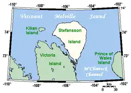
Stefansson Island is an uninhabited island in the Arctic Archipelago in the Kitikmeot Region of Nunavut, Canada. It has a total area of 4,463 km2 (1,723 sq mi), making it the 128th largest island in the world, and Canada's 27th largest island. The island is located in Viscount Melville Sound, with M'Clintock Channel to the east. It lies just off Victoria Island's Storkerson Peninsula, separated by the Goldsmith Channel. Stefansson Island's highest mount is 256 m (840 ft).[3] A weather station, at 73°45′56″N 105°17′44″W, is located on the northern part of the island as part of an automated weather station array operated by Environment and Climate Change Canada in the Arctic.[4] The first European sighting of the island was in 1917 by Storker T. Storkerson who was travelling with Canadian explorer Vilhjalmur Stefansson (1879-1962), for whom the island was named.[5]
 Stefansson Island and surrounding area | |
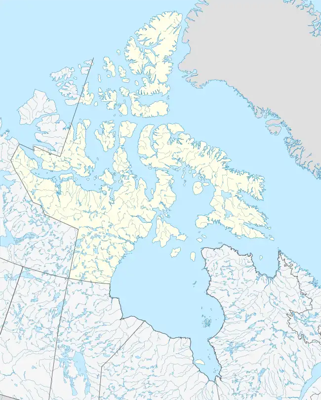
 Stefansson Island  Stefansson Island | |
| Geography | |
|---|---|
| Location | Viscount Melville Sound |
| Coordinates | 73°20′N 105°45′W[1] |
| Archipelago | Arctic Archipelago |
| Area | 4,463 km2 (1,723 sq mi)[3] |
| Highest elevation | 256 m (840 ft)[3] |
| Highest point | unnamed |
| Administration | |
Canada | |
| Territory | Nunavut |
| Region | Kitikmeot |
| Demographics | |
| Population | 0 |
References
- "Stefansson Island". Geographical Names Data Base. Natural Resources Canada.
- "Stefansson Island". Geographical Names Data Base. Natural Resources Canada.
- Stefansson Island at The Canadian Encyclopedia
- Polar Continental Shelf Program Projects
- Mills, William James (2003). Exploring polar frontiers: a historical encyclopedia. Santa Barbara: ABC-CLIO.
Further reading
- Fyles, J. G. Surficial Geology of Victoria and Stefansson Islands, District of Franklin. Ottawa: Roger Duhamel, Queen's Printr, 1963.