Southery
Southery is a village and civil parish in Norfolk, England, which covers an area of 18.12 km2 (7.00 sq mi) and had a population of 1,324 at the 2011 Census.[1] For local government purposes, it falls within the district of King's Lynn and West Norfolk.
| Southery | |
|---|---|
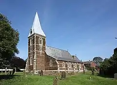 St Mary, Southery | |
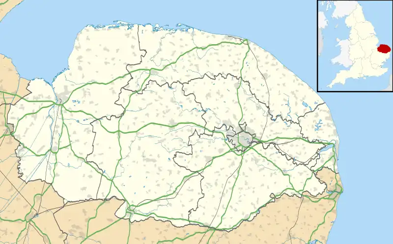 Southery Location within Norfolk | |
| Area | 18.12 km2 (7.00 sq mi) |
| Population | 1,324 (2011) |
| • Density | 73/km2 (190/sq mi) |
| OS grid reference | TL621946 |
| Civil parish |
|
| District | |
| Shire county | |
| Region | |
| Country | England |
| Sovereign state | United Kingdom |
| Post town | Downham Market |
| Postcode district | PE38 |
| Police | Norfolk |
| Fire | Norfolk |
| Ambulance | East of England |
The village's name means 'southerly island'.[2]
Gallery

Southery, Norfolk: St Mary's church, rebuilt 1858
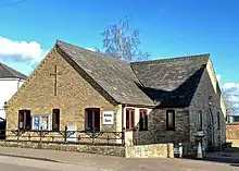
The Methodist Church in Southery, Norfolk
Notes
- "Parish population 2011". Retrieved 29 August 2015.
- Mills, A. D. (2011). A Dictionary of British Place Names. Oxford: Oxford University Press. p. 428. ISBN 9780199609086. Retrieved 10 October 2022.
This article is issued from Wikipedia. The text is licensed under Creative Commons - Attribution - Sharealike. Additional terms may apply for the media files.