Sobienie Szlacheckie
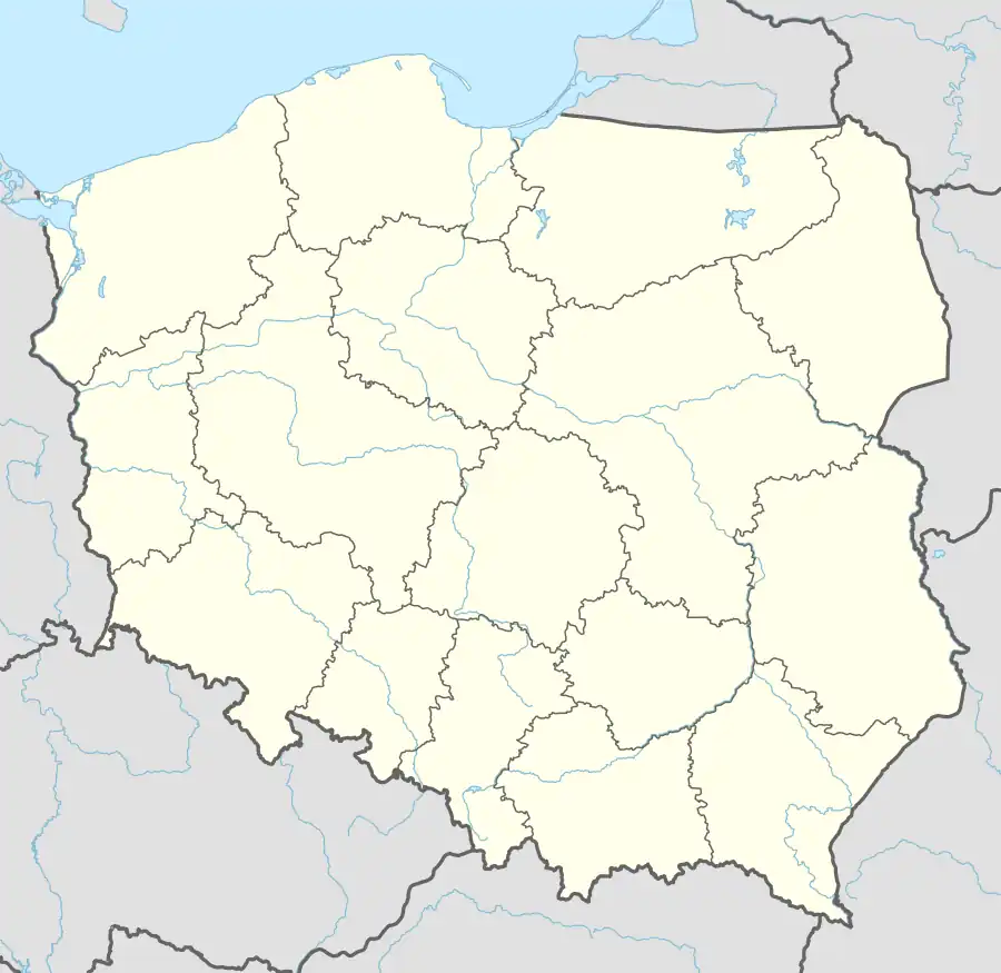
Sobienie Szlacheckie [sɔˈbjɛɲɛ ʂlaˈxɛt͡skʲɛ] is a village in Gmina Sobienie-Jeziory, Otwock County, in central Poland. The population is near 300. It lies approximately 3 kilometres (2 mi) north-east of Sobienie-Jeziory, 20 km (12 mi) south of Otwock, and 38 km (24 mi) south-east of Warsaw.
Sobienie Szlacheckie | |
|---|---|
Village | |
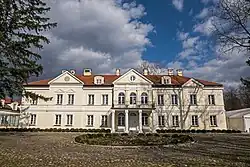 Palace in Sobienie Szlacheckie | |
 Sobienie Szlacheckie | |
| Coordinates: 51°57′N 21°20′E | |
| Country | |
| Voivodeship | Masovian |
| County | Otwock |
| Gmina | Sobienie-Jeziory |
| Population | near 300 |
| Time zone | UTC+1 (CET) |
| • Summer (DST) | UTC+2 (CEST) |
| Vehicle registration | WOT |
| Voivodeship roads | |
History
The "Szlacheckie" is a historical suffix, which means belonging to nobility (Polish: szlachta). There is a preserved historic palace and park ensemble in the village. In 1827, the village had a population of 239.[1]
From 1975 to 1998 it was administratively located in Siedlce Voivodeship.
Transport
The Voivodeship road 739 runs through the village.
References
- Słownik geograficzny Królestwa Polskiego i innych krajów słowiańskich, Tom X (in Polish). Warsaw. 1889. p. 944.
{{cite book}}: CS1 maint: location missing publisher (link)
This article is issued from Wikipedia. The text is licensed under Creative Commons - Attribution - Sharealike. Additional terms may apply for the media files.