Sirmaur, Rewa
Sirmaur is a town and a nagar panchayat in Rewa district in the Indian state of Madhya Pradesh. It is about 42 kilometers from Rewa.
Sirmaur | |
|---|---|
city | |
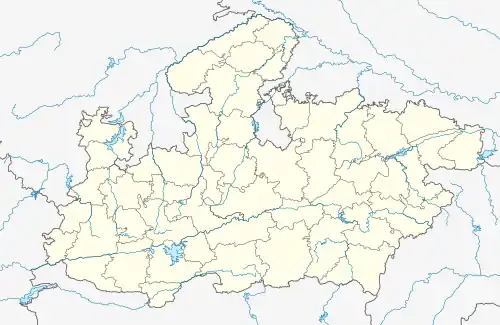
 Sirmaur Location in Madhya Pradesh, India  Sirmaur Sirmaur (India) | |
| Coordinates: 24.85°N 81.38°E | |
| Country | |
| State | Madhya Pradesh |
| District | Rewa |
| Elevation | 291 m (955 ft) |
| Population (2001) | |
| • Total | 10,938 |
| Languages | |
| • Official | Hindi |
| Time zone | UTC+5:30 (IST) |
| ISO 3166 code | IN-MP |
| Vehicle registration | MP |
Geography
Sirmaur is located at 24.85°N 81.38°E.[1] It has an average elevation of 291 metres (954 feet).
The Rewa Plateau covers the Huzur, Sirmaur, and Mauganj tehsils of Rewa district. The height decreases from south to north.[2]
Significant waterfalls on the Tamsa or Tons and its tributaries, as they come down from the Rewa Plateau, are: Chachai Falls (127m) on the Bihad River, a tributary of the Tamsa, the Keoti Falls (98m) on the Mahana River, a tributary of the Tamsa, Odda Falls (145m) on the Odda River, a tributary of the Belah River, which is itself a tributary of the Tamsa, and Purwa Falls (70m) on the Tamsa or Tons.[3]
Demographics
As of 2001 India census,[4] Sirmaur had a population of 10,938. Males constitute 54% of the population and females 46%. Sirmaur has an average literacy rate of 60%, higher than the national average of 59.5%: male literacy is 70%, and female literacy is 49%. In Sirmaur, 15% of the population is under 6 years of age.
Transport
By air
Nearest airport in Prayagraj, Uttar Pradesh.
By bus
Bus stand available in the city bus stand Sirmaur.
See also
References
- Falling Rain Genomics, Inc - Sirmaur
- "Rewa district". Geography. Rewa district administration. Retrieved 11 July 2010.
- K. Bharatdwaj (2006). Physical Geography: Hydrosphere. ISBN 9788183561679. Retrieved 11 July 2010.
{{cite book}}:|work=ignored (help) - "Census of India 2001: Data from the 2001 Census, including cities, villages and towns (Provisional)". Census Commission of India. Archived from the original on 16 June 2004. Retrieved 1 November 2008.