Simmerath
Simmerath is a municipality in the district of Aachen, in North Rhine-Westphalia, Germany. It is located approximately 20 km south-east of Aachen, near the border to Belgium.
Simmerath | |
|---|---|
 | |
 Flag  Coat of arms | |
Location of Simmerath within Aachen district .svg.png.webp) | |
 Simmerath 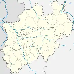 Simmerath | |
| Coordinates: 50°36′25″N 6°18′00″E | |
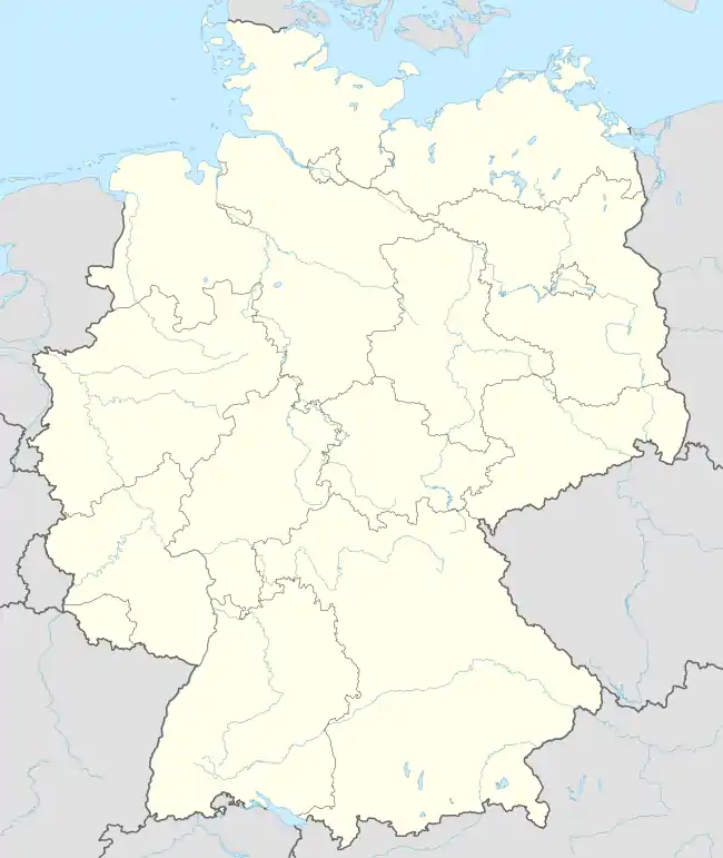
| Country | Germany |
| State | North Rhine-Westphalia |
| Admin. region | Köln |
| District | Aachen |
| Subdivisions | 17 |
| Government | |
| • Mayor (2020–25) | Bernd Goffart[1] (CDU) |
| Area | |
| • Total | 111.430 km2 (43.023 sq mi) |
| Highest elevation | 560 m (1,840 ft) |
| Lowest elevation | 280 m (920 ft) |
| Population (2021-12-31)[2] | |
| • Total | 15,614 |
| • Density | 140/km2 (360/sq mi) |
| Time zone | UTC+01:00 (CET) |
| • Summer (DST) | UTC+02:00 (CEST) |
| Postal codes | 52152 |
| Dialling codes | 02473 |
| Vehicle registration | AC, MON |
| Website | www.simmerath.de |
The administrative area was expanded in 1972 and includes the following localities:
- Dedenborn
- Eicherscheid
- Einruhr
- Erkensruhr
- Hammer
- Hirschrott
- Huppenbroich
- Kesternich
- Lammersdorf
- Paustenbach
- Rollesbroich
- Rurberg
- Witzerath
- Woffelsbach
Gallery
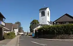
 Lammersdorf, catholic church in the street
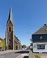
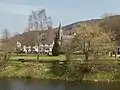 Einruhr, church of St. Nicholas in the village
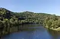 near Einruhr, river Rur
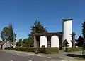 Paustenbach, view of a street
References
- Wahlergebnisse in NRW Kommunalwahlen 2020, Land Nordrhein-Westfalen, accessed 19 June 2021.
- "Bevölkerung der Gemeinden Nordrhein-Westfalens am 31. Dezember 2021" (in German). Landesbetrieb Information und Technik NRW. Retrieved 20 June 2022.
External links
![]() Media related to Simmerath at Wikimedia Commons
Media related to Simmerath at Wikimedia Commons
Towns and municipalities in Aachen district | ||
|---|---|---|
Coat of Arms of Aachen district | ||
This article is issued from Wikipedia. The text is licensed under Creative Commons - Attribution - Sharealike. Additional terms may apply for the media files.