Bersted
Bersted is a civil parish in the Arun district of West Sussex, England. It is made up of two independent villages, North Bersted and Shripney.
| Bersted | |
|---|---|
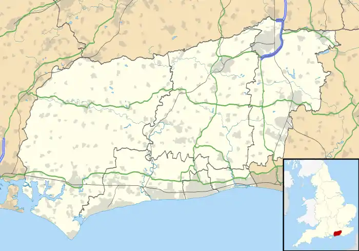 Bersted Location within West Sussex | |
| Area | 7.13 km2 (2.75 sq mi) [1] |
| Population | 8,496 (Civil Parish.2011)[2] |
| • Density | 1,192/km2 (3,090/sq mi) |
| OS grid reference | SU9200 |
| • London | 55 miles (89 km) NNE |
| Civil parish |
|
| District | |
| Shire county | |
| Region | |
| Country | England |
| Sovereign state | United Kingdom |
| Post town | BOGNOR REGIS |
| Postcode district | PO21 |
| Dialling code | 01243 |
| Police | Sussex |
| Fire | West Sussex |
| Ambulance | South East Coast |
| UK Parliament | |
Governance
An electoral ward in the same name exists. This ward contains a little of Bognor Regis but still has a total population taken at the 2011 census of 8,496.[3]
Geography
Elevations range from 8m in the south-west to 2-3m above ordnance datum in the south-east where a straightened river drains the parish.
An industrial and business estate takes up the easternmost part of Bersted - in common with most of the country business tends to refer to their post town Bognor Regis and includes a superstore. Some of this area is in the town's boundaries.
History
At North Bersted were found Celtic and Roman settlement remains, including the grave of a warrior known as the North Bersted Man.[4] The ancient village of South Bersted is now part of Bognor Regis civil parish; it has the 13th century church of the Bersted ecclesiastical parish, which is mid-ranked in the national system.[5]
Localities
North Bersted
This is part of the built-up area next to Bognor Regis accessed on the A259 road commencing 1 mile (1.6 km) northwest of the town's seafront centre.
Shripney
Shripney, in the northeast, has evolved from a thirteenth-century hamlet. It lies on the A29 road 2 miles (3.2 km) north of Bognor Regis. The Robin Hood pub is on Shripney Road. In Shripney Lane, there are over forty dwellings, including thatched cottages and caravans.
References
- "2001 Census: West Sussex – Population by Parish" (PDF). West Sussex County Council. Archived from the original (PDF) on 8 June 2011. Retrieved 26 March 2009.
- Key Statistics; Quick Statistics: Population Density Archived 11 February 2003 at the Wayback Machine United Kingdom Census 2011 Office for National Statistics Retrieved 21 November 2013
- "Key Figures for 2011 Census: Key Statistics - Area: Bersted (Ward)". Neighbourhood Statistics. Office for National Statistics. Retrieved 14 October 2016.
- Arms and the man, in Current Archaeology, March 5, 2020
- Historic England. "Details from listed building database (1190914)". National Heritage List for England. Retrieved 5 May 2014.