Shirahatti
Shirahatti is a panchayat town in Gadag district in the Indian state of Karnataka.
Shirahatti | |
|---|---|
Town | |
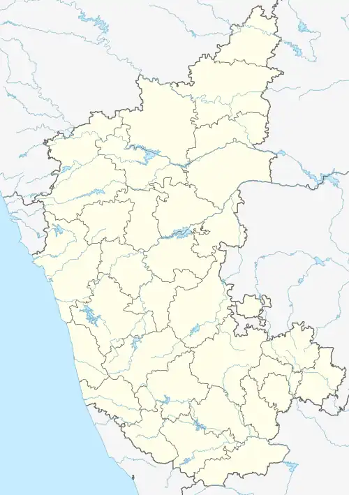 Shirahatti Location in Karnataka, India 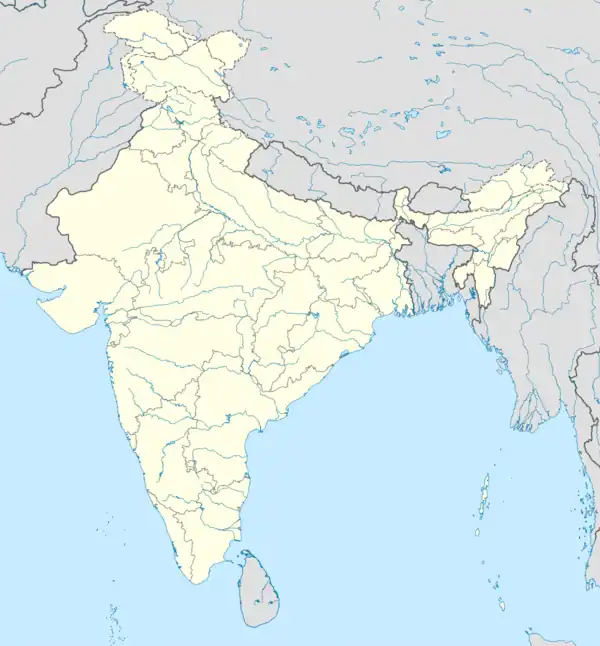 Shirahatti Shirahatti (India) | |
| Coordinates: 15.23°N 75.58°E | |
| Country | |
| State | |
| District | Gadag |
| Taluk | Shirahatti |
| Lok Sabha Constituency | Haveri |
| Elevation | 659 m (2,162 ft) |
| Population (2001) | |
| • Total | 16,208 |
| Languages | |
| • Official | Kannada |
| Time zone | UTC+5:30 (IST) |
| PIN | 582 120 |
| Vehicle registration | KA-26 |
Geography
Shirahatti is located at 15.23°N 75.58°E.[1] It has an average elevation of 659 metres (2162 feet).
Demographics
As of 2001 India census,[2] Shirahatti had a population of 16,208. Males constitute 51% of the population and females 49%. Shirahatti has an average literacy rate of 60%, higher than the national average of 59.5%: male literacy is 69%, and female literacy is 50%. 13% of the population is under 6 years of age.
Places to visit
Shri Jagadguru Fakireshwar Math (Temple) is a famous religious center. Both Hindus and Muslims follow this deity.
Transport
Shirahatti has a dedicated road service to the neighboring districts and towns, the nearest large town being Gadag. Bus services are available to Hubli, Lakshmeshwara, Mundargi, Ron, on a very regular basis. Bus services are also available to Bangalore regularly. No train services are available, but the nearest railway station is Lakshameshwar (Yelavigi).
References
- Falling Rain Genomics, Inc - Shirhatti
- "Census of India 2001: Data from the 2001 Census, including cities, villages and towns (Provisional)". Census Commission of India. Archived from the original on 16 June 2004. Retrieved 1 November 2008.
District HQ: Gadag | |
| Villages and Towns |
|