Shillay
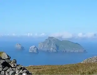
Shillay (Scottish Gaelic: Siolaigh) is an uninhabited island which lies 2 km north of Pabbay in the Outer Hebrides of Scotland.
| Scottish Gaelic name | Siolaigh |
|---|---|
| Old Norse name | selr-øy |
| Meaning of name | seal island |
| Location | |
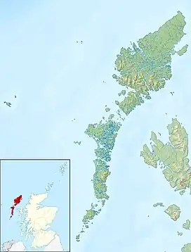 Shillay Shillay shown within the Outer Hebrides | |
| OS grid reference | NF880913 |
| Coordinates | 57.80°N 7.25°W |
| Physical geography | |
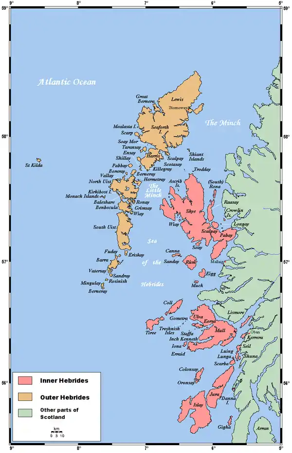
| Island group | Uists and Barra |
| Area | 47 ha (116 acres) |
| Area rank | 208 [1] |
| Highest elevation | 79 m (259 ft) |
| Administration | |
| Sovereign state | United Kingdom |
| Country | Scotland |
| Council area | Na h-Eileanan Siar |
| Demographics | |
| Population | 0[2] |
| References | [3][4] |
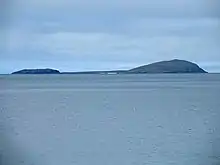
The name is derived from the Norse selr-øy meaning seal island and is a Scottish Wildlife Trust reserve owing to its international importance for breeding grey seals.
There is no record or evidence that it has ever seen human habitation.
Footnotes
- Area and population ranks: there are c. 300 islands over 20 ha in extent and 93 permanently inhabited islands were listed in the 2011 census.
- National Records of Scotland (15 August 2013). "Appendix 2: Population and households on Scotland's Inhabited Islands" (PDF). Statistical Bulletin: 2011 Census: First Results on Population and Household Estimates for Scotland Release 1C (Part Two) (PDF) (Report). SG/2013/126. Retrieved 14 August 2020.
- Haswell-Smith, Hamish (2004). The Scottish Islands. Edinburgh: Canongate. ISBN 978-1-84195-454-7.
- Ordnance Survey. OS Maps Online (Map). 1:25,000. Leisure.
Wikimedia Commons has media related to Siolaigh.
|  | ||||||||||||||||
|
| |||||||||||||||||
| |||||||||||||||||
| |||||||||||||||||
| |||||||||||||||||
| |||||||||||||||||
| |||||||||||||||||
| |||||||||||||||||
This article is issued from Wikipedia. The text is licensed under Creative Commons - Attribution - Sharealike. Additional terms may apply for the media files.