Semer, Suffolk
Semer is a small village and civil parish in Suffolk, England.[2] Located adjacent to a bridge over the River Brett on the B1115 between Hadleigh and Stowmarket, it is part of Babergh district. The parish also contains the hamlets of Ash Street and Drakestone Green.
| Semer | |
|---|---|
 All Saints Church | |
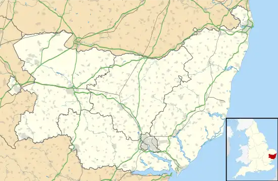 Semer Location within Suffolk | |
| Population | 130 (population of the whole parish in 2011)[1] |
| District | |
| Shire county | |
| Region | |
| Country | England |
| Sovereign state | United Kingdom |
| Post town | Ipswich |
| Postcode district | IP7 |
| UK Parliament | |
The parish was recorded in the 2011 census as having a population of 130, down from 158 in the previous census.[1]
History
Semer is recorded in the Domesday Book as belonging to Bury St Edmunds Abbey in both 1066 and 1086.[3] The abbey acted as both Lord of the Manor and Tenant-In-Chief.[3]
The village is recorded as home to 20 households: six villagers, 13 small holders and one slave.[3] It is recorded as having enough ploughland for 3 lord's plough teams and 3 men's plough teams; and the village also had 12 acres of meadow, a mill, a church, 0.25 acres of church land, 16 cattle, 2 cobs, 24 pigs and 97 sheep.[3]
In 1086 the village is valued as worth £6 a year to its lord, Bury St Edmunds Abbey, a £1 increase on its value in 1066.[3] Its taxable value is recorded as 3.8 geld units and 2.5 villtax.[3]
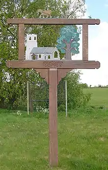
All Saints Church
The small church is set a few hundred yards off of a minor road across a meadow beside the River Brett, It is almost entirely Victorianised with a chancel that was rebuilt in 1870. One notable feature of the graveyard, to the east of the church, is a marble Edwardian angel scattering roses.[4]
The church has a plain square-cut font which is thought to be 14th-century, as is the nave. There is also a Royal Arms of King George III, painted before the union with Ireland.[5]
Hamlets
Ash Street
The small hamlet of Ash Street is centred approximately 0.5 miles (1 km) east of Semer church; it is located to the north of a bridge over the River Brett.
Ash Street is recorded in the Domesday Book as a very small settlement of just five smallholders, with 6 acres (2.4 ha) of meadow and a mill; the hamlet had a taxable value of 1.5 geld units.[6] Prior to the Norman Conquest of 1066, the hamlet was owned by an unnamed "Free Woman".[6] After the Conquest it is recorded as under the Lordship of William the Conqueror's half-brother: Robert, Count of Mortain.[6]
Drakestone Green
The small hamlet of Drakestone Green is centred approximately 1 mile (1.6 km) south of Semer church.
References
- "Semer: Key Statistics". 2011 Census. Retrieved 25 April 2013.
- Kelly, E. R., ed. (1875). "SEMER". The Post Office Directory of Cambridge, Norfolk and Suffolk. London: Kelly & Co. p. 907.
- "Semer". Domesday Map. Retrieved 29 April 2013.
- "Suffolk Churches". www.suffolkchurches.co.uk.
- "About us - Semer, All Saints - A Church Near You". www.achurchnearyou.com.
- "Ash Street". Domesday Map. Retrieved 25 April 2013.