Seal Chart
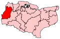
Seal Chart is a village 2 miles (3 km) east of Sevenoaks in Kent, England. It is within the Sevenoaks local government district. It is in the civil parish of Seal.
| Seal Chart | |
|---|---|
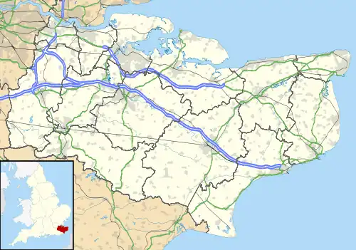 Seal Chart Location within Kent | |
| District | |
| Shire county | |
| Region | |
| Country | England |
| Sovereign state | United Kingdom |
| Post town | Sevenoaks |
| Postcode district | TN15 |
| Police | Kent |
| Fire | Kent |
| Ambulance | South East Coast |
| UK Parliament | |
External links
![]() Media related to Seal Chart at Wikimedia Commons
Media related to Seal Chart at Wikimedia Commons
This article is issued from Wikipedia. The text is licensed under Creative Commons - Attribution - Sharealike. Additional terms may apply for the media files.