Savoonga Airport
Savoonga Airport (IATA: SVA, ICAO: PASA, FAA LID: SVA) is a state-owned public-use airport located two nautical miles (4 km) south of the central business district of Savoonga, a city in the Nome Census Area of the U.S. state of Alaska.[1] Savoonga is located on St. Lawrence Island in the Bering Sea.
Savoonga Airport | |||||||||||
|---|---|---|---|---|---|---|---|---|---|---|---|
| Summary | |||||||||||
| Airport type | Public | ||||||||||
| Owner | Alaska DOT&PF - Northern Region | ||||||||||
| Serves | Savoonga, Alaska | ||||||||||
| Elevation AMSL | 53 ft / 16 m | ||||||||||
| Coordinates | 63°41′11″N 170°29′33″W | ||||||||||
| Map | |||||||||||
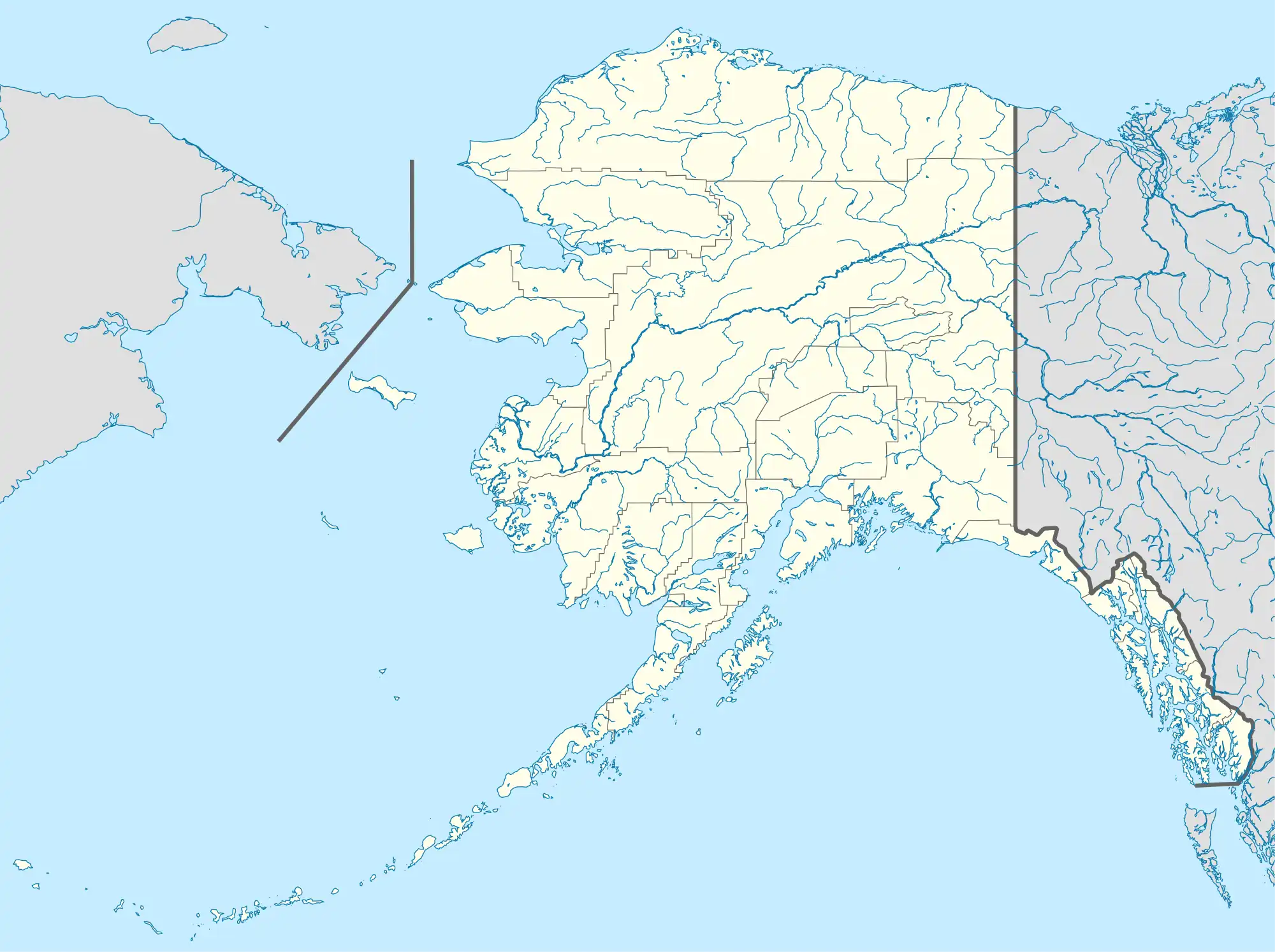 SVA Location of airport in Alaska | |||||||||||
| Runways | |||||||||||
| |||||||||||
Facilities
Savoonga Airport covers an area of 834 acres (338 ha) at an elevation of 53 feet (16 m) above mean sea level. It has one runway designated 5/23 with a 4,400 × 100 ft (1,341 × 30 m) gravel surface.[1]
Airlines and destinations
| Airlines | Destinations |
|---|---|
| Bering Air | Gambell, Nome[2] |
Prior to its bankruptcy and cessation of all operations, Ravn Alaska served the airport from multiple locations.
References
- FAA Airport Form 5010 for SVA PDF, effective 2008-04-10
- Bering Air: Nome Flight Schedule Archived 2007-09-27 at the Wayback Machine (PDF). Retrieved 31-Aug-2007.
External links
- FAA Alaska airport diagram (GIF)
- FAA Terminal Procedures for SVA, effective October 5, 2023
- Resources for this airport:
- FAA airport information for SVA
- AirNav airport information for PASA
- ASN accident history for SVA
- FlightAware airport information and live flight tracker
- NOAA/NWS latest weather observations for PASA
- SkyVector aeronautical chart for SVA
This article is issued from Wikipedia. The text is licensed under Creative Commons - Attribution - Sharealike. Additional terms may apply for the media files.