Satautha
Satautha is a village in Harpalpur block of Hardoi district, Uttar Pradesh, India.[2] The main staple crops here are wheat and rice.[3][4] As of 2011, the population of Satathua is 3,992, in 727 households.[2] The village lands cover an area of 797.6 hectares.[2]
Satautha | |
|---|---|
Populated place | |
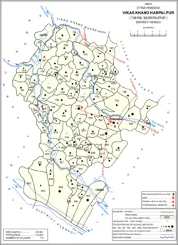 Map showing Satautha (#794) in Harpalpur CD block | |
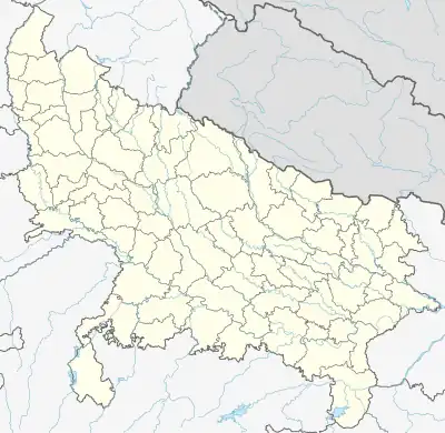 Satautha Location in Uttar Pradesh, India 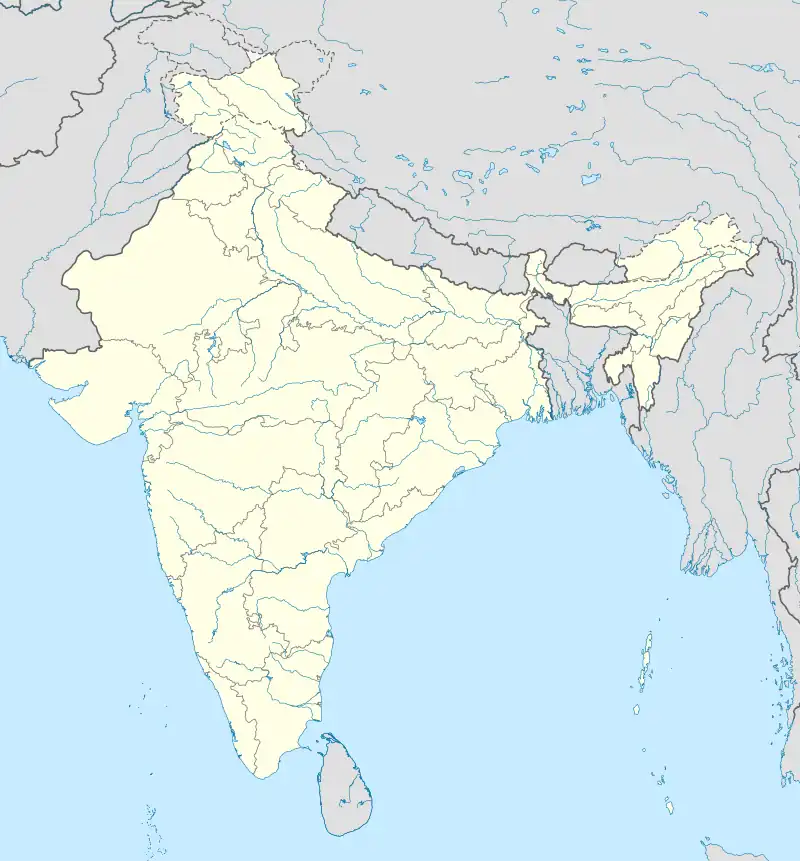 Satautha Satautha (India) | |
| Coordinates: 27.343737°N 79.838808°E[1] | |
| Country | |
| State | Uttar Pradesh |
| District | Hardoi |
| Area | |
| • Total | 7.976 km2 (3.080 sq mi) |
| Population (2011)[2] | |
| • Total | 3,992 |
| • Density | 500/km2 (1,300/sq mi) |
| Languages | |
| • Official | Hindi |
| Time zone | UTC+5:30 (IST) |
The 1961 census recorded Satathua as comprising 4 hamlets, with a total population of 1,524 (792 male and 732 female), in 281 households and 224 physical houses.[5] The area of the village was given as 2,020 acres.[5]
References
- "GeoNames Search". geonames.nga.mil. Archived from the original on 12 April 2014. Retrieved 14 June 2023.
- "Census of India 2011: Uttar Pradesh District Census Handbook - Hardoi, Part A (Village and Town Directory)" (PDF). Census 2011 India. pp. 206–30. Retrieved 29 May 2021.
- Census 1971 Uttar Pradesh: District Census Handbook Part X-A: Village & Town Directory, District Hardoi (PDF). 1972. pp. 128–9. Retrieved 29 May 2021.
- Census 1981 Uttar Pradesh: District Census Handbook Part XIII-A: Village & Town Directory, District Hardoi (PDF). 1982. pp. 172–3. Retrieved 29 May 2021.
- Census 1961: District Census Handbook, Uttar Pradesh (36 - Hardoi District) (PDF). Lucknow. 1965. pp. 158, xciv-xcv of section "Bilgram Tahsil". Retrieved 29 May 2021.
{{cite book}}: CS1 maint: location missing publisher (link)
This article is issued from Wikipedia. The text is licensed under Creative Commons - Attribution - Sharealike. Additional terms may apply for the media files.