Sarabah National Park
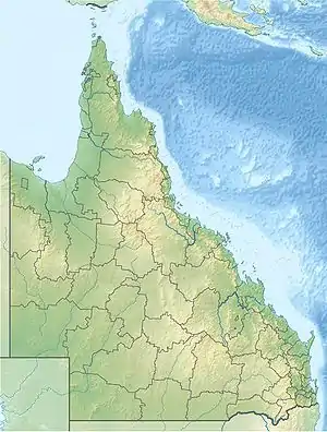
Sarabah is a small national park in South East Queensland, Australia, 65 km south of Brisbane. The park lies within the catchment area of the Albert River.[1]
| Sarabah National Park Queensland | |
|---|---|
 Sarabah National Park | |
| Nearest town or city | Canungra |
| Coordinates | 28°02′54″S 153°07′19″E |
| Established | 1973 |
| Area | 1.416 ha (3.5 acres) |
| Managing authorities | Queensland Parks and Wildlife Service |
| See also | Protected areas of Queensland |
The park contains the remains of lowland subtropical rainforest and fringing riparian open forest along Canungra Creek.[2] It was declared a national park in 1973. At just 1.416 ha (3.5 acres) in size, it is Queensland's smallest national park.[2]
See also
References
- "Sarabah National Park". WetlandInfo. Department of Environment and Heritage Protection. Retrieved 9 February 2015.
- "Sarabah National Park Management Statement 2013" (PDF). Department of National Parks, Recreation, Sport and Racing. Retrieved 9 February 2015.
This article is issued from Wikipedia. The text is licensed under Creative Commons - Attribution - Sharealike. Additional terms may apply for the media files.