Tangamandapio
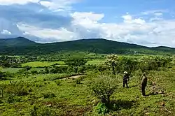
Santiago Tangamandapio, known as Tangamandapio, is a municipality located in the northwest part of the Mexican state of Michoacán, WSW of Zamora, Michoacán, 165 km from the state capital of Morelia. The geographic coordinates are: 19° 57' North latitude and 102° 26' West longitude. Tangamandapio Municipality also includes the community of Tarécuato.
Santiago Tangamandapio | |
|---|---|
 Tangamandapio, Michoacán | |
 Seal | |
 Santiago Tangamandapio | |
| Coordinates: 19°57′23″N 102°25′58″W | |
| Country | |
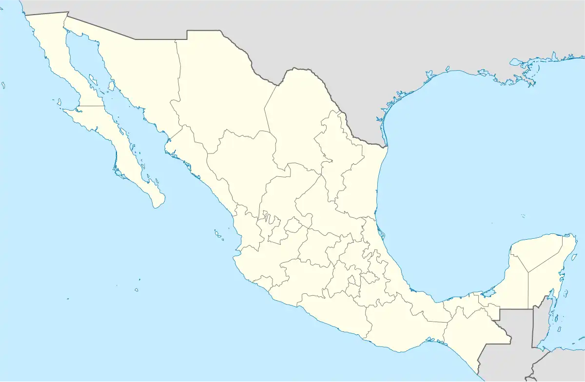
| State | Michoacán |
| Foundation | December 10, 1831 |
| Elevation | 1,658 m (5,440 ft) |
| Population (2010) | |
| • Total | 10,463 |
| Time zone | UTC-6 (Central Standard Time) |
| • Summer (DST) | UTC-5 (Central Daylight Time) |
| Postal code | 59920 |
Popular culture
The municipality gained notoriety due to the Mexican television series El Chavo del Ocho (1973–80), in which the character Jaimito, el Cartero (portrayed by Raúl Padilla) cites Tangamandapio as his birthplace. In commemoration, the municipal government erected a statue of the character in 2012.[1]
Geography
Climate
Tangamandapio has a monsoon-influenced humid subtropical climate (Cwa, according to the Köppen climate classification), with humid summers and dry winters.
| Climate data for Santiago Tangamandapio | |||||||||||||
|---|---|---|---|---|---|---|---|---|---|---|---|---|---|
| Month | Jan | Feb | Mar | Apr | May | Jun | Jul | Aug | Sep | Oct | Nov | Dec | Year |
| Average high °C (°F) | 23.9 (75.0) |
26.0 (78.8) |
28.2 (82.8) |
30.8 (87.4) |
30.9 (87.6) |
27.4 (81.3) |
24.9 (76.8) |
25.1 (77.2) |
24.6 (76.3) |
25.0 (77.0) |
24.6 (76.3) |
24.0 (75.2) |
26.3 (79.3) |
| Daily mean °C (°F) | 15.7 (60.3) |
17.4 (63.3) |
19.5 (67.1) |
22.2 (72.0) |
22.9 (73.2) |
20.9 (69.6) |
19.1 (66.4) |
19.2 (66.6) |
18.8 (65.8) |
18.3 (64.9) |
17.0 (62.6) |
15.9 (60.6) |
18.9 (66.0) |
| Average low °C (°F) | 8.3 (46.9) |
9.4 (48.9) |
10.7 (51.3) |
13.2 (55.8) |
15.2 (59.4) |
15.7 (60.3) |
14.4 (57.9) |
14.5 (58.1) |
14.2 (57.6) |
12.6 (54.7) |
10.1 (50.2) |
8.6 (47.5) |
12.2 (54.1) |
| Average precipitation mm (inches) | 20 (0.8) |
15 (0.6) |
14 (0.6) |
7 (0.3) |
43 (1.7) |
177 (7.0) |
255 (10.0) |
241 (9.5) |
204 (8.0) |
91 (3.6) |
24 (0.9) |
10 (0.4) |
1,101 (43.4) |
| Average precipitation days (≥ 0.1 mm) | 2 | 2 | 1 | 2 | 7 | 15 | 20 | 19 | 16 | 9 | 3 | 1 | 97 |
| Source: Climate-Data.org[2] | |||||||||||||
References
- "El Universal - - Jaimito, El Cartero ya tiene estatua en Tangamandapio".
- "Climate Santiago Tangamandapio (Mexico)". Climate Data. 2022. Retrieved 31 July 2022.
External links
